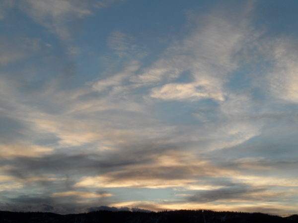
The sun returns ahead of the next series of three storms
Monday, January 16, 2017
The pesky upper low responsible for the valley clouds these past two days has split, with the northern piece of the spit traveling east of the Steamboat Springs area tonight. While the southern piece will remain south of our area as it affects the southern third of the country over the coming work week, the sun will finally make an appearance over the Yampa Valley for the next several days.
A wave in the very strong Pacific jet stream will cross the West Coast around Wednesday night and spread clouds over our area later Thursday. This wave will weaken as it crosses the Great Basin, bringing only light snow showers to Mt. Werner on Friday and Friday night.
A stronger storm approaches the Pacific Northwest coast on Friday and splits, with the southern piece traveling southeastward through the Great Basin on Saturday. At this time, models have the bulk of this second storm staying to our west and southwest, and light snow showers are expected from Saturday through Sunday afternoons.
Meanwhile another strong wave in the energetic Pacific jet stream phases with the remaining northern piece of the second storm in the Gulf of Alaska and forms the strongest storm of the three. The storm will begin affecting the West Coast on Sunday before it crosses the coast later that day and first brings mid and high level clouds to our area on Monday and snow showers starting around Monday evening.
While this last storm will likely last the longest and bring the most accumulating snows, the details will have to wait until there is better model agreement - hopefully by next Thursday or Friday in time for my next forecast.
Add comment
Fill out the form below to add your own comments


