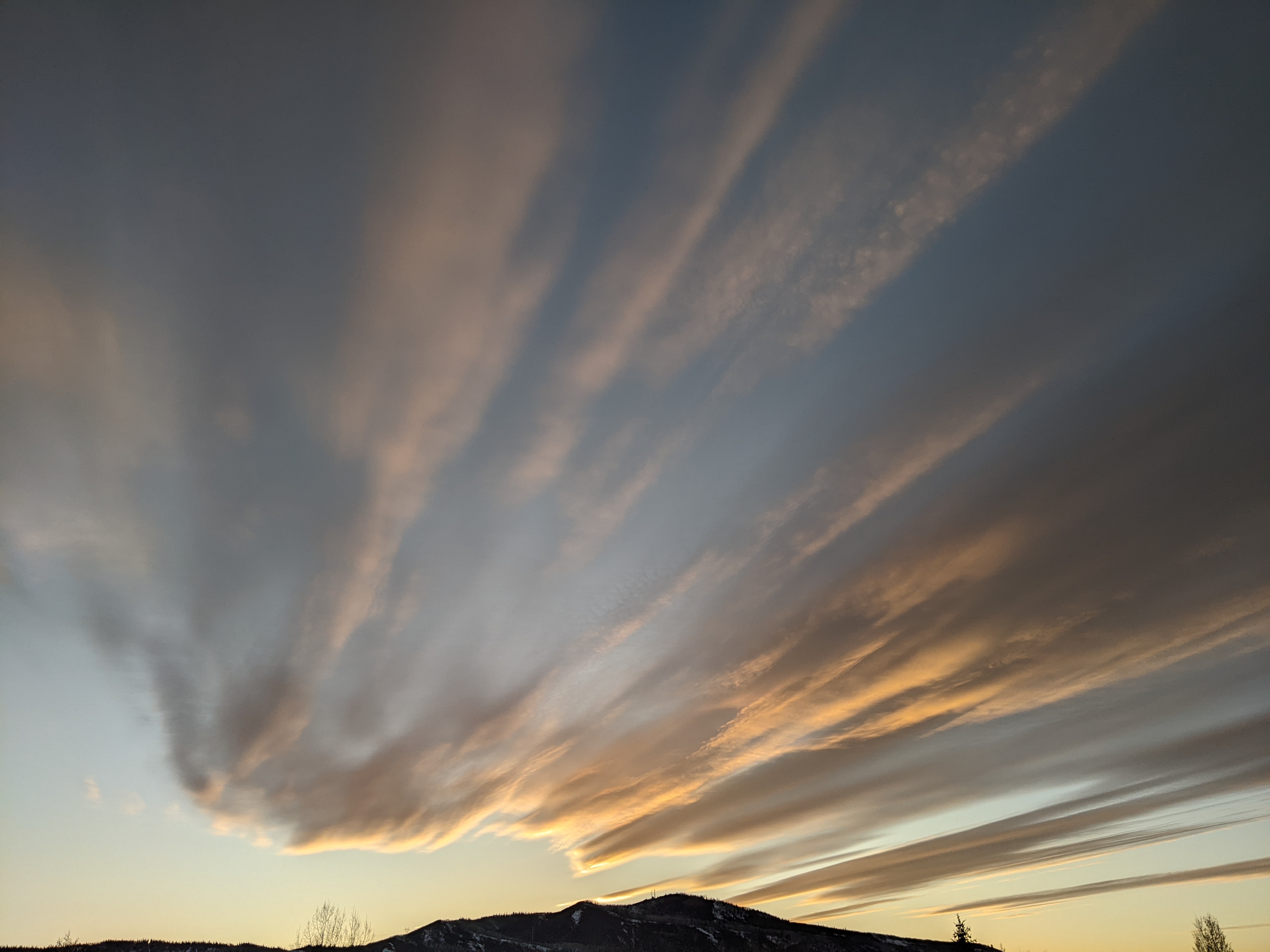
Snowy this week with moderate arctic intrusion
Sunday, January 1, 2017
The good news is the bitter cold forecast in the last discussion will likely be warmer and of shorter duration and we should still see snow for much of the work week in the Steamboat Springs area. The bad news (from a forecasting perspective) is there is still considerable uncertainty in the near term among the numerical models, which is unusual since a consensus usually emerges this close to an event.
A strong storm along the Pacific Northwest coast has phased with some bitterly cold air from western Canada originally sourced from Siberia. The storm is forecast to split and elongate to the west and east underneath a ridge of high pressure in the Gulf of Alaska, eventually forming a frontal boundary that encroaches over our area around Monday. The major uncertainty lies with how far west and south energy from this storm propagates in the eastern Pacific.
Models do agree that cold air will move over the region from Monday through early Thursday, though the splitting storm will carry the coldest air to our north and east. The European ECMWF has a reinforcing wave of cold air moving over the area late in the work week while the American GFS keeps more energy in the eastern Pacific, pumping up a flat ridge over the Great Basin and moving copious Pacific moisture inland under warming temperatures.
Light snow should start overnight on New Year’s Day, with up to an inch or two of snow for the Monday morning report, and pick up for a time during the day as cold air invades the area. However, there is no sharp frontal boundary which reduces the likelihood of heavy snow and the mountain-top winds are from the west, which is not an ideal direction for Mt. Werner. But the snow is persistent and lasts through the overnight hours, so I would expect 4-8” of snow by the Tuesday morning report.
Light snow will continue through Tuesday with another 3-6” forecast for Wednesday morning before another push of very cold air moves over the area later Wednesday into Wednesday night. Though the winds veer to a more favorable northwest direction, a ribbon of dry air lurks just to our north so snows should wind down during the day and overnight with another 1-4” expected during Wednesday.
The forecast for Thursday is dependent upon the track of cold air traveling southwestward from western Canada as discussed above. The European ECMWF keeps the end of the work week drier and colder, while the Amercan GFS brings moderate to sometimes heavy snows inland under a warmer Pacific airmass for later Thursday and Friday.
Lot’s of uncertainty, so stay tuned for my late-week weather discussion next Thursday or Friday.
Add comment
Fill out the form below to add your own comments


