Significant storm on track with precipitation starting tonight
Thursday, December 15, 2016
Warm air ahead of a large Gulf of Alaska storm will further increase temperatures in the Steamboat Springs area through Friday morning or afternoon. Some energy is currently being ejected from the storm in still warm west-southwest flow and will carry copious Pacific moisture and wind, beginning moderate to sometimes heavy precipitation by Thursday evening, with a rain or a rain/snow mix likely below 8000′.
The Steamboat ski area does not usually fair well with windy conditions predominantly from the west as the wind blows directly up many ski slopes, and the 3-6” that falls by Friday morning will be heavy and possibly wind affected.
But a large mass of arctic air moving southward from western Canada phases with the main part of the Gulf of Alaska storm, with both moving over our area later Friday. The arctic front from Canada is expected through the region later on Friday (though timing at this point is uncertain), changing rain to snow in the valley and increasing snowfall rates even further on Mt. Werner as the snow becomes lighter and fluffier and travel becomes difficult or impossible for a time.
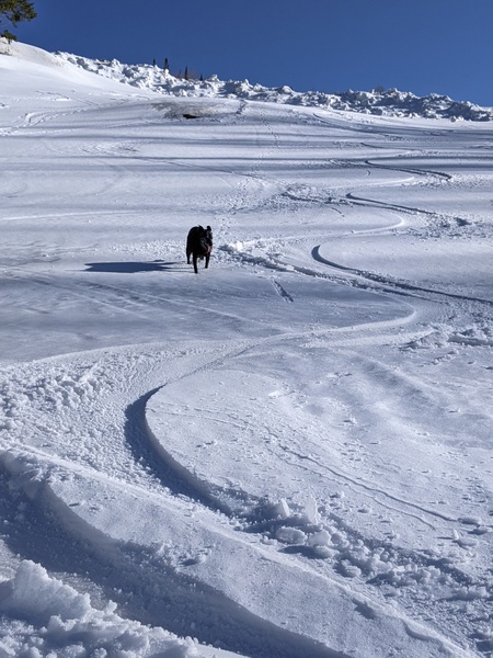
Snows will quickly moderate behind the front late Friday night in very cold air, with snow showers persisting through Saturday morning before ending by Saturday afternoon with highs in the single digits. Snow accumulations on the hill are likely to be impressive by Saturday morning with an additional 8-16” possible on the morning report, making for outstanding skiing as the light fluffy snow from the end of the storm overlays the heavier denser snow from earlier in the storm.
Cold and dry temperatures will occur through the rest of the weekend with moderating temperatures into the midweek, with the American GFS bringing sun to the area for the first part of the work week.
There is disagreement as to the next storm, with the American GFS phasing some leftover energy from the big storm off the southern California coast with another storm from the Gulf of Alaska by Thursday. The European ECMWF does not phase these systems, but waits for the next wave and brings the storm across our area over the next weekend. The American GFS has this wave moving across our area over the weekend as well, just without the leftover energy that may bring some precipitation to our area around Thursday.


