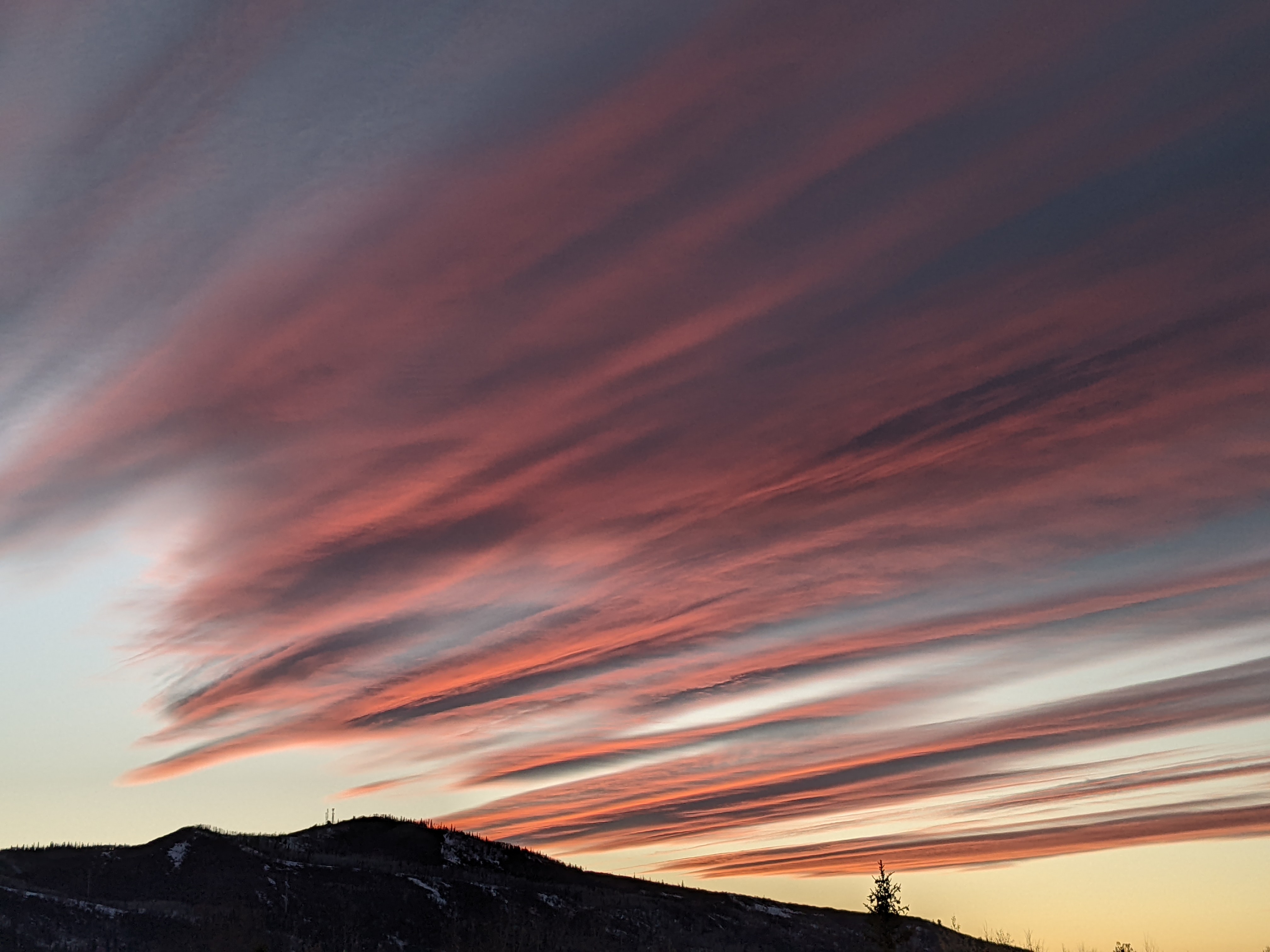
Big Blue visits this week before our snow machine cranks up
Monday, December 5, 2016
Cold air sourced from the North Pole, euphemistically referred to as Big Blue, will invade our area over the next few days making Tuesday, Wednesday and Thursday morning the coldest days of the season so far. A wave in northwest flow is currently crossing the Pacific Northwest coast and will bring bitter cold, wind and some moisture to begin snow again starting Tuesday afternoon and lasting through some of the day Wednesday. Even though the moisture content of the air is modest due to the cold temperatures, 4-8” of very light fluffy snow may be reported on the Wednesday morning mid-mountain ski report.
But temperature may reach as low as the minus teens for Wednesday and Thursday mornings with highs in the single digits for Wednesday. The light snows will end by Wednesday afternoon after another inch or two possible, with peaks of sun in the valley making it feel slightly less cold.
A transient flat ridge follows for Thursday and Friday, bringing welcomed warming and enough wind to scour out the valley inversions and bring temperatures back closer to normal. Though there will be sun during the first part of the day Thursday, there will be enough moisture embedded in the brisk northwest flow to bring the threat of light snow showers back to the region later Thursday.
Hard to define and time waves in a proximate jet stream oriented west-northwest are forecast to pass around or north of the Steamboat Springs area for Friday and Saturday, bringing periods of moderate to heavy snowfall at times and likely leaving significant accumulations over the 2 days.
A break in snowfall is currently timed for Sunday before another grazing wave begins snowfall again by late in the day. In fact, current model simulations have the jet stream close enough to keep the threat of snowfall going for most of the following week. However, small variations in the location of the jet as well as the moisture contained within it make for a rather uncertain forecast with large variations in predicted snowfall likely until a model consensus emerges.


