Winter weather stays on track for Thursday
Monday, November 14, 2016
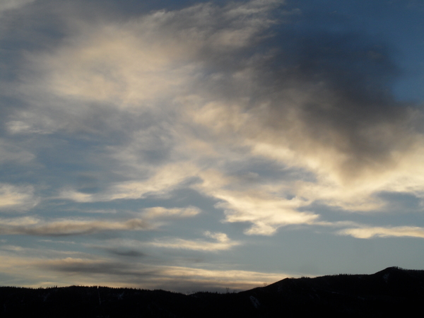
A building ridge over the Intermountain West will be pushed eastward Tuesday and Wednesday ahead of the well advertised winter-like storm for Thursday. Tuesday will be another warm and sunny day before high level clouds appear on a still-warm Wednesday as breezy to windy southwesterly winds picks up ahead of the strong storm forecast to cross the central California coast Wednesday evening.
Even though there have been vacillations in the model forecast over the weekend, the storm looks to develop largely inline with last Thursday’s forecast. Models still have the storm racing across the Great Basin later Wednesday night before precipitation begins in the Steamboat Springs as early as Thursday morning. If it starts as rain in the valley, it should quickly transition to snow during the day as a strong cold front barrels through the region.
Snows will turn more showery behind the front, but I still expect accumulations Thursday night into Friday as we do well in the cold, moist and unstable northwest flow behind the storm that will leave daytime highs 20F to 30F lower than what we recently have been experiencing. By the time the showers end Friday afternoon or evening, the valley could see 2-5” of snow on unpaved surfaces with 6-12” on the hill.
Dry air is expected behind the storm, likely making Saturday morning the coldest of the season so far if the clouds clear by sunrise. Temperatures in the mountains will warm the fastest on a mostly sunny Saturday as a large transient ridge builds over the West, with valleys a bit slower to warm as temperature inversions start to develop.
The ridge looks to persist through at least the rest of the weekend keeping the beautiful weather around until Monday afternoon when upstream Pacific energy flattens the ridge and reintroduces moisture into the area.
Add comment
Fill out the form below to add your own comments


