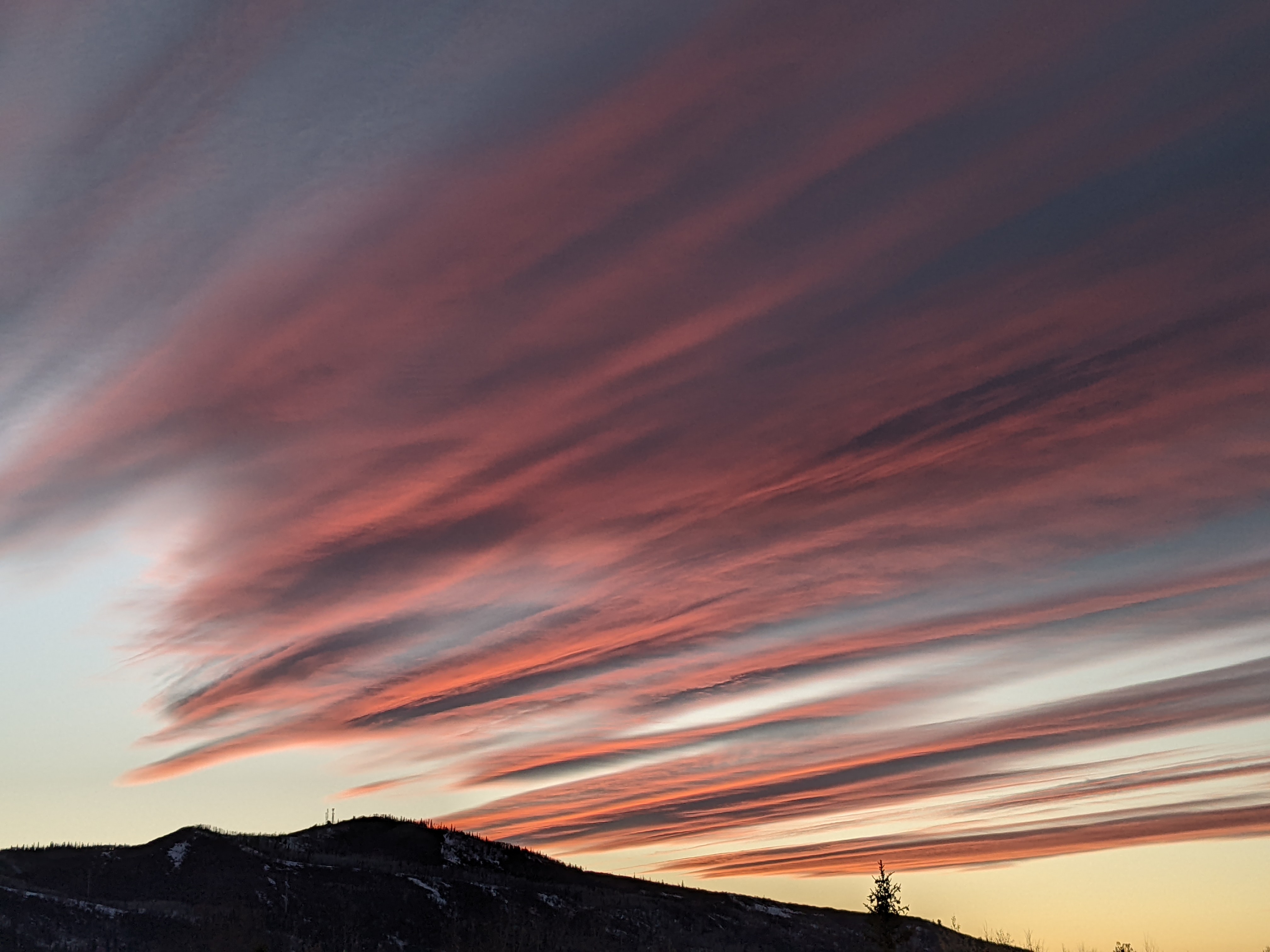
Dry weather persists except for a chance of light showers for Saturday
Thursday, November 3, 2016
After a couple of gorgeous days to end this work week, moisture increases starting later Friday and hangs around through Saturday night as the wobbly low mentioned in the last forecast moves near the Steamboat Springs area and brings precipitation to southern Colorado. Low temperature for both nights will be warmer than the past few days as the clouds act like a blanket to trap the earth’s daytime heat while daytime highs for Saturday will be cooler as the clouds block the sun.
There may be enough moisture for a chance of rain showers Saturday afternoon and evening especially at the higher elevations.
Clouds may hang around for Sunday and part of Monday with little chance for precipitation as a weak and splitting Pacific weather system crosses Colorado. For those keeping score, the European ECMWF was the clear winner in minimizing the significance of the system.
By Tuesday, the western ridge expands, shunting any Pacific weather systems to our north and bringing another warm and dry work week to the Intermountain West.
There is a chance of some weather for next weekend, though the European ECMWF is once again weaker with the trough and stronger with the western ridge than the American GFS.
Add comment
Fill out the form below to add your own comments


