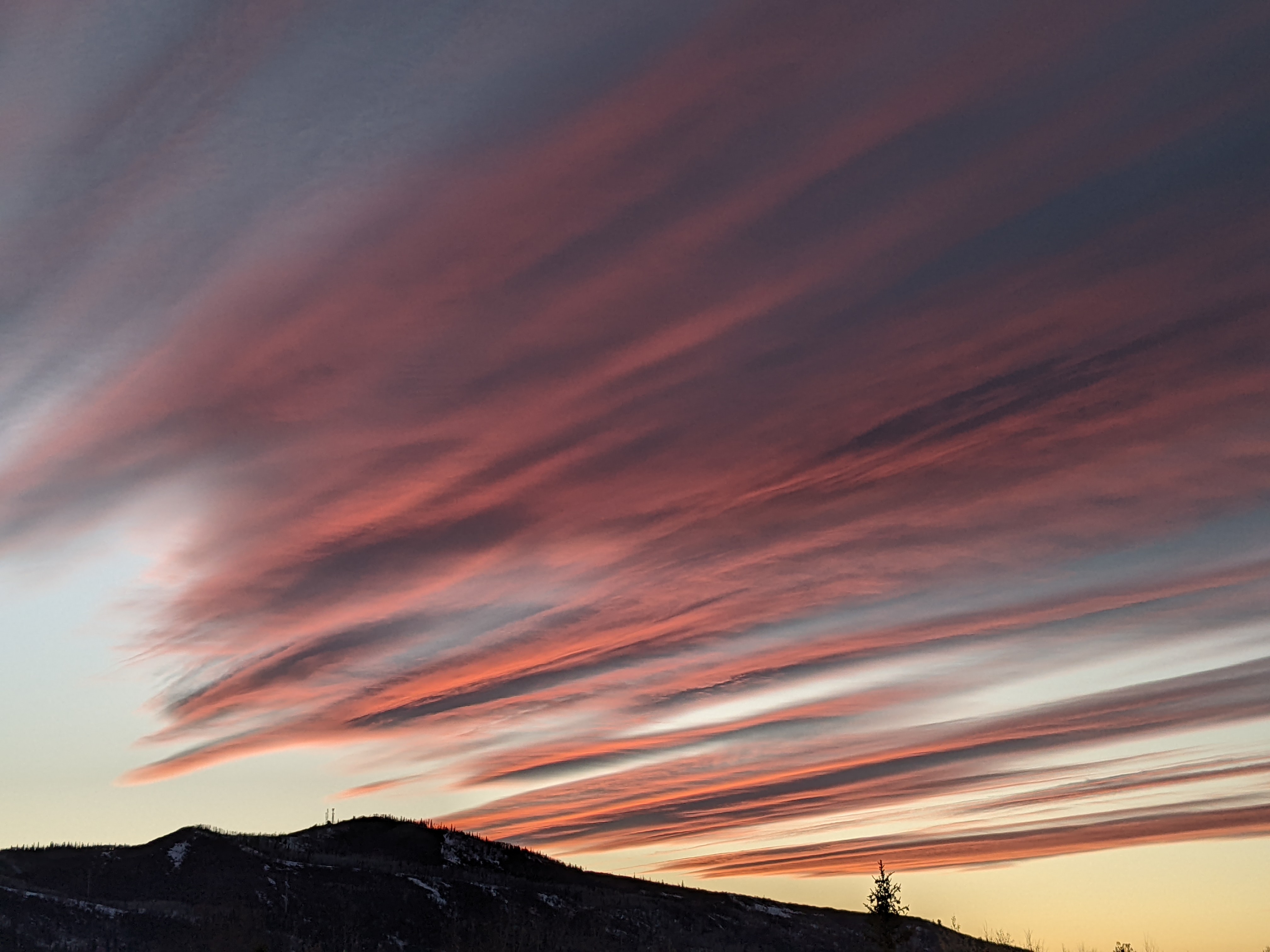
Storm to affect our weather this week
Sunday, October 2, 2016
A Pacific storm that has crossed the West Coast this morning will race across the Great Basin tonight. The storm has evolved considerably since Thursday’s forecast with the storm now forecast to be comprised of two distinct pieces. The first part of the storm is about a day faster and drier, bringing a cool front through the Steamboat Springs area during the day Monday. Breezy southwest flow will veer to the west and northwest when the front passes with a band of showers moving through around noon or early afternoon.
The brunt of the storm will be deflected to our north by a ridge of high pressure over the central US. with some drying advertised over our area behind the front later Monday into Tuesday. Despite the drier weather, temperatures will be cool on Tuesday as additional energy from the northwest keeps cool air flowing into the region.
Multiple waves of additional energy will keep temperatures cool and eventually moisten the atmosphere, bringing showers back into our area for Wednesday. It will be cold enough for snow on Mt. Werner, and we may see some snowflakes in the valley around Wednesday afternoon or evening.
The waves of energy continue for Thursday and into the overnight, with continued snow on Mt. Werner and snow showers likely in the valley. While accumulations on the still-warm paved surfaces are unlikely, there may be some accumulations on the grassy areas.
Warming and drying is advertised to start Friday after a chilly start to the day and last through the weekend behind the the last wave that is forecast to cross the area Thursday night.
For those that plan travel to the East Coast over Columbus Day weekend, be aware that long range models have a hurricane threatening the East Coast. There is still lots of uncertainty, though, as not only may the track of the hurricane change, but it may or may not interact with the second part of our forecast storm as it moves eastward.


