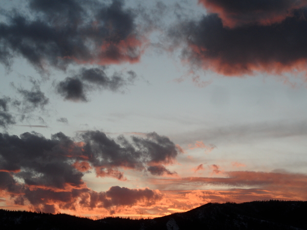
Beautiful late-summer weather on tap for the next week
Friday, September 16, 2016
After a cool and unsettled week, dry, sunny and warm days with cool nights return for most of the next week in Steamboat Springs.
While the storm system responsible for last week’s weather has largely moved east of the area, some energy was left behind and is currently residing in the southwestern US and Baja. There was uncertainty in Monday’s forecast regarding this energy and it’s northward extent when another strong Pacific storm kicks it eastward around midweek. Though there is still disagreement, the bulk of that storm looks to stay south of our area, possibly introducing some clouds but likely allowing the beautiful weather early in the week to persist through most of the work week.
The incoming Pacific storm, however, is far more difficult to predict at this time as a complicated pattern consisting of cool air moving southward from Alaska, several waves of additional Pacific energy, a transient building ridge centered in the northwestern US and British Columbia and even a tropical storm moving northward from Baja interact. Current forecasts have the Pacific jet stream eventually undercutting the transient ridge around the end of the work week, allowing the Pacific storm to move eastward and threaten the week of fine weather around late Thursday and Friday.
Incidentally, this is the first event this fall where Pacific energy undercuts a ridge in the vicinity of the Gulf of Alaska, and reflects the growing dominance of a winter-season jet stream. Over the remainder of the fall season, there will battles between a weakening summer-like ridge over the southwestern US and a strengthening winter-like Pacific jet stream. While summer wins the immediate battle, it’s victories will become more sporadic and shorter lived as cold air continues to build in the northern latitudes.
Add comment
Fill out the form below to add your own comments


