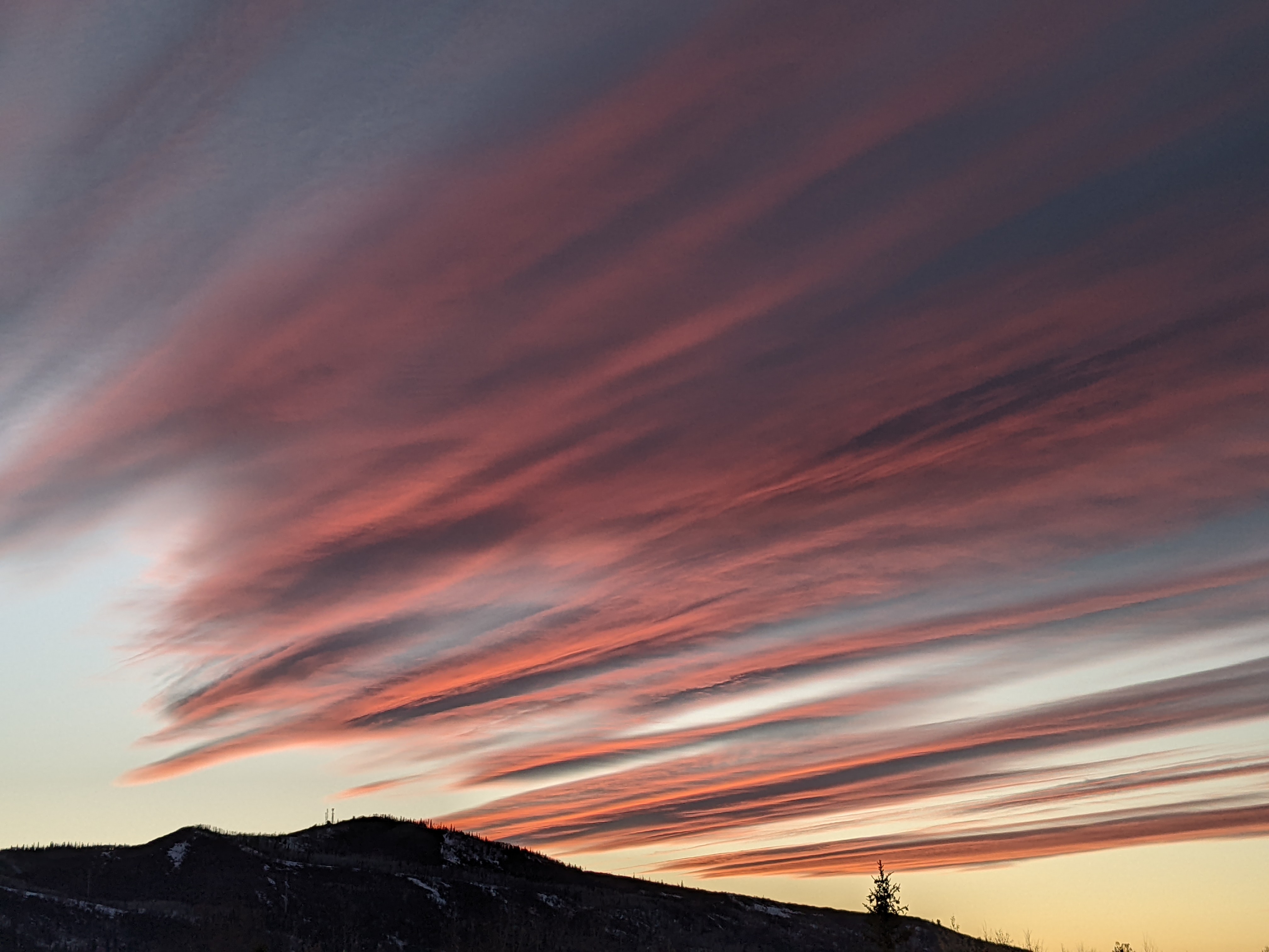
Cool nights and pleasant days ahead
Monday, July 11, 2016
The cold front that passed through the Steamboat Springs area last night brought freezing temperatures to the top of Mt. Werner this morning and kept daytime temperatures pleasantly below normal. Though the strongest westerly winds will decrease by midweek, continued westerly flow with embedded waves will keep the cool nights and pleasant daytime temperatures with breezy afternoon winds going through most of the rest of the work week.
A Pacific Northwest storm crossing the coast near the Canadian border on Friday will cause the flow to back to the southwest and bring still dry weather but warmer temperatures to our area by the end of the work week and through the weekend.
More cold air from Siberia will cross the North Pole and spin up another unseasonably strong storm off the Pacific Northwest coast by early next week. Not only will this increase temperatures to well above normal again as a western ridge builds ahead of the storm, but will also allow some monsoonal moisture to our southwest to be drawn over our area.
Current models have this as the beginnings of another monsoonal surge that may introduce considerable moisture for Colorado starting around next midweek.
Windy and cool follows hot weekend
Friday, July 8, 2016
After a seasonably hot weekend with some afternoon clouds and possibly a stray shower later Sunday, an unseasonably cold storm currently off the Pacific northwest coast will move across the northern Great Basin on Sunday. Breezy to windy southwest winds will occur by Sunday afternoon before the dry cold front moves through the area Sunday night or Monday morning as the main storm passes north of our area.
Monday will be noticeably cooler with still breezy westerly winds as the first cold front passes through, followed by additional cool waves which will keep the cool mornings with pleasant daytime temperatures and dry weather going for most of the work week.
A flat ridge is forecast to build across the western US for still dry but warming temperatures around next weekend courtesy of a mass of cold air from Siberia that is forecast drop through Alaska and spin up another strong Pacific Northwest storm by late next weekend.
NEW - Receive my forecasts by email!
Tuesday, July 5, 2016
Exciting news for those hanging on my every word! Registered users can now have the twice-weekly forecast discussion blog emailed directly to their inbox. Simply sign in to your account and click the Settings link. You will see a new checkbox labeled SnowAlarm Forecast Blog under the Newsletter Subscriptions that allows you to receive the SnowAlarm forecast discussion blog directly to your inbox.
Not registered? No problem - simply create a free account and you will be automatically signed up!
There is no obligation to continue receiving the forecast discussion blog after you sign up - simply go to your Settings and uncheck the box labeled SnowAlarm Forecast Blog under the Newsletter Subscriptions and you will be immediately unsubscribed.
Dry weather returns with cool fronts Thursday and early next week
Monday, July 4, 2016
Though we will still be susceptible to afternoon and early evening storms for Independence Day and Tuesday, the atmosphere will continue to dry and warm over the next few days, though at a slightly slower rate than in last Friday’s forecast.
After a mostly dry Wednesday, a wave traveling along the Canadian border midweek will bring the possibility of showers, likely staying to our north for Wednesday night. But cool air will wash over the area on Thursday along with breezy to windy west winds in a still dry atmosphere.
Temperatures should soar to above normal with diminishing winds by later Friday and heading into the weekend as a transient ridge builds behind the departing storm to our north and ahead of another strong Pacific Northwest storm making landfall early next weekend.
By late Sunday or early next week, cooler temperatures, again with breezy to windy westerly winds with still dry weather are expected as that Pacific Northwest storm moves across the northern Great Basin.
Wet weather gradually dries through the long weekend
Friday, July 1, 2016
A wave moving across the well-established monsoon moisture plume currently over Colorado will keep showers going through at least the first half of the night. This wave is strong enough to bring mountain-top northwest flow by tonight which may allow for some drying by early Saturday as the deepest moisture is pushed south behind the departing wave. However, Saturday afternoon storms, possibly strong, will be likely in the still moist and unstable airmass.
By Sunday, moisture erodes further for a drier morning courtesy of a Pacific Northwest storm approaching the coast. But another wave is kicked across Colorado Sunday afternoon by the Pacific storm, and this will again lead to the chance of afternoon storms, possibly strong.
Even though moisture erodes further for Monday, yet another weak wave is forced eastward across Colorado as the Pacific Northwest storm crosses the coast near the Canadian border, and this will again lead the possibility of afternoon storms, though weaker and less numerous than the weekend.
Much drier air overspreads the area on Tuesday and Wednesday accompanied by seasonal temperatures for a very pleasant couple of days.
By Thursday and into Friday, a tropical wave moving from east to west across the Mexican plateau early in the week will travel over our area in continued southwest flow, similar to how the current monsoon event started this past Wednesday. This may again lead to a couple of wet days, though there is model disagreement as to to the duration and depth of this moisture, with the ECMWF being less aggressive than the GFS. In any case, another Pacific Northwest storm looks to make landfall near the end of the work week and westerly flow will cut off the moisture plume by the weekend as the storm moves inland.


