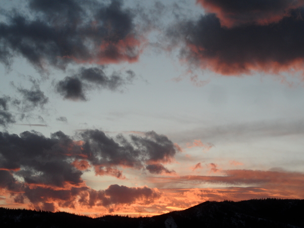
Steamboat Springs area weather forecast from Saturday
Saturday, June 4, 2016
Temperatures at the top of Storm Peak reached 60F degrees this afternoon, and the Yampa through town should reach around 3500 cfs at midnight tonight. Rivers should stay high tomorrow and Monday as temperatures continue to warm.
Tomorrow will be another beautiful and warm day, though a weak wave passing to our north and east will re-introduce a chance of afternoon showers. A weak Pacific storm that will begin to affect us later Tuesday will be crossing the northern California coast during the day as well.
Another weak wave for Monday and better moisture will further increase the threat of afternoon storms
Tuesday will keep the threat of afternoon showers present, with the chances increasing each day.
The weak Pacific wave weakens further as it interacts with the dominant western ridge, and due to its dry nature, it affects on our area will be minimal, only keeping the threat of showers around and cooler temperatures under the increased cloud cover.
By Wednesday and through the rest of the work week, the ridge rebuilds and temperatures will increase to their warmest readings of the year, though there will still be a chance of afternoon showers.
A much stronger storm will have crossed the West Coast midweek. Current model have the storm weakening as it moves to our northwest through the western ridge, but it may be close enough to increase winds by the end of the weak.
Add comment
Fill out the form below to add your own comments


