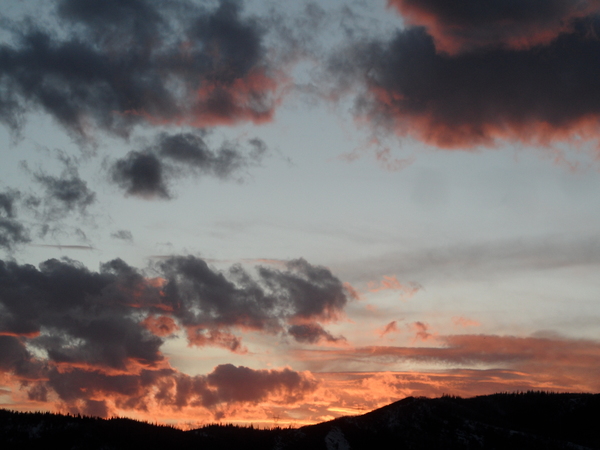
Steamboat Springs area weather forecast from Wednesday
Wednesday, June 1, 2016
Mostly dry conditions and warming temperatures from near normal to above normal can be expected through the rest of the work week and the first part of the weekend.
There will be an increased chance of afternoon showers Sunday and Monday afternoons as atmospheric moisture is trapped between a developing trough over the central to eastern US and and the western ridge.
Surprisingly, an active jet stream continues across the Pacific, likely reinforced by still cold air in Siberia and northern Canada that rotates southward across the northern Pacific. The end result is a battle over the western US as a building ridge is moderated by incoming Pacific energy.
A weak Pacific storm forecast to cross the central California coast late in the weekend will be the first test of the resiliency of the ridge. The ECMWF has trended toward the AVN solution and moves the weak storm through the ridge and over our area later Tuesday or Wednesday. The storm is fairly dry, so the main effect may be the continuation of afternoon showers, though there may be increasing clouds ahead of wave.
After that, a much stronger storm approaches the West Coast midweek and may have more of an affect on our weather by the end of the work week.


