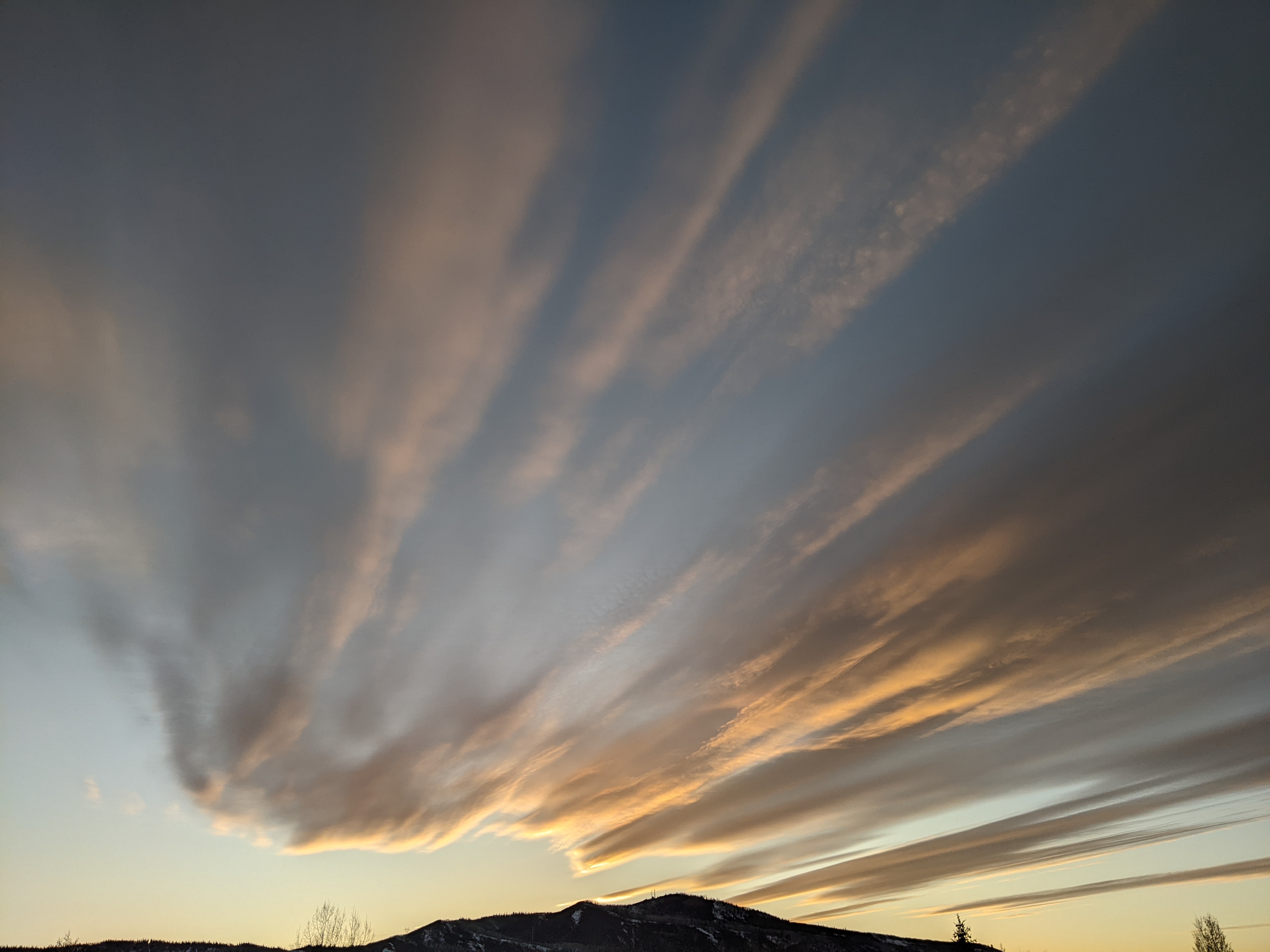
Steamboat Springs area weather forecast from Tuesday
Tuesday, May 31, 2016
Our transition to summer is still on track, and afternoon temperatures should be rising towards the weekend as a strong western ridge, not seen since the dry spell in February, builds over the Great Basin.
The main weather concern will be the usual afternoon showers that may appear Sunday and Monday afternoons as atmospheric moisture is trapped between a developing trough over the central to eastern US and and the western ridge.
Surprisingly though, an active jet stream continues across the Pacific, likely reinforced by still cold air in Siberia and northern Canada that rotates southward across the northern Pacific. The end result is a battle over the western US as a building ridge is moderated by incoming Pacific energy.
A weak Pacific storm forecast to cross the central California coast late in the weekend will be the first test of the resiliency of the ridge. There is model disagreement with the ECMWF keeping the storm west and north of our area as it rides up the western side of the ridge. The AVN, on the other hand, is now more aggressive in moving the storm through the ridge and over our area later Tuesday or Wednesday, bringing the chance of warm precipitation to the region.


