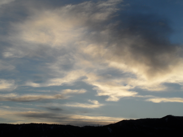
Steamboat Springs area weather forecast from Monday
Monday, May 30, 2016
Our persistently unsettled spring weather is finally on its way out, though an approaching storm currently over Montana as of Monday afternoon will bring several more cool waves of air to northern Colorado this afternoon through Wednesday.
The first cool front will bring a chance of afternoon and early evening showers today before spreading dry air over our region later tonight. The cool air will be reinforced on Tuesday leading to a cool but mostly sunny day.
A trailing wave of cool and dry air washes over our area Tuesday night, bringing another cool start to Wednesday, but the strong June sun will allow for warmer temperatures than we’ve seen in a while by the afternoon.
Summer looks to arrive in force on Thursday, and generally beautiful and warm summertime weather looks to finally hang around for more than a day or two. Other than a weak cool front that crosses the area Friday night and leads to a chilly start to Saturday, the main weather concern will be the usual afternoon showers that may begin to appear as soon as Saturday afternoon as atmospheric moisture is trapped between a developing trough over the central to eastern US and a weak southern Pacific storm forecast to cross the central California coast late in the weekend.
Surprisingly though, an active jet stream continues across the Pacific, likely reinforced by still cold air in Siberia and northern Canada that rotates southward across the northern Pacific. The end result is a battle over the western US as a building ridge is moderated by incoming Pacific energy. Current models keep the summertime weather over our area through the following work week, though there are indications that the Pacific energy will eventually penetrate the ridge and bring increasing chances of cooler air and precipitation after that.
Add comment
Fill out the form below to add your own comments


