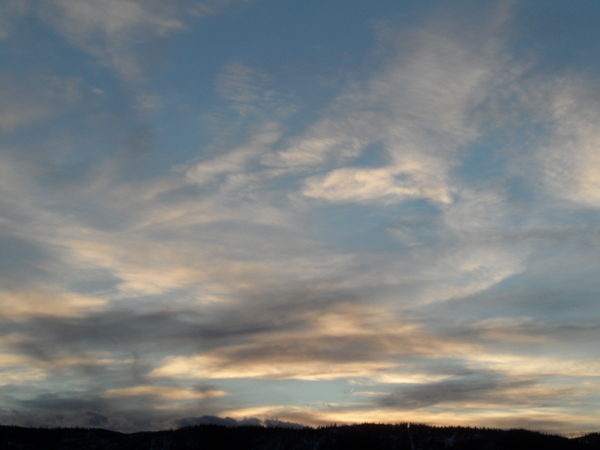
Steamboat Springs area weather forecast from Saturday
Saturday, May 28, 2016
Our wet and cool spring looks to leave us around midweek after another pair of weakly connected storms pass through the area in the Monday through Wednesday time frame.
Before that, after a chance of light showers this afternoon, a weak storm off the central California coast will be dragged eastward by a stronger storm crossing the northern West Coast near the Canadian border that has already mixed with cool air from western Canada. The southern storm will bring increasing chances of stronger showers Sunday afternoon as moisture and atmospheric instability increase.
Some dry air may briefly pass over our area ahead of the pair of storms early in the day on Monday as they both move eastward. However, the dominant northern storm will bring a cool front through the area later Monday, again increasing the chance of afternoon storms.
By Monday night, pieces of energy from both storms will continue to eject over our area, possibly continuing showers into the nighttime. Additional cool air will filter into the area on Tuesday, though there is model disagreement on whether the air will be cool enough to preclude additional showers during the afternoon.
In any case, atmospheric moisture will gradually leave our area on Wednesday, even as the cool air hangs around for a cool and dry spring day.
Though Thursday may start out cool, rapid warming during the day combined with the drier airmass should bring beautiful and relatively summer-like weather that finally looks to hang around through next weekend as a western summertime ridge builds over the western third of the US.
Add comment
Fill out the form below to add your own comments


