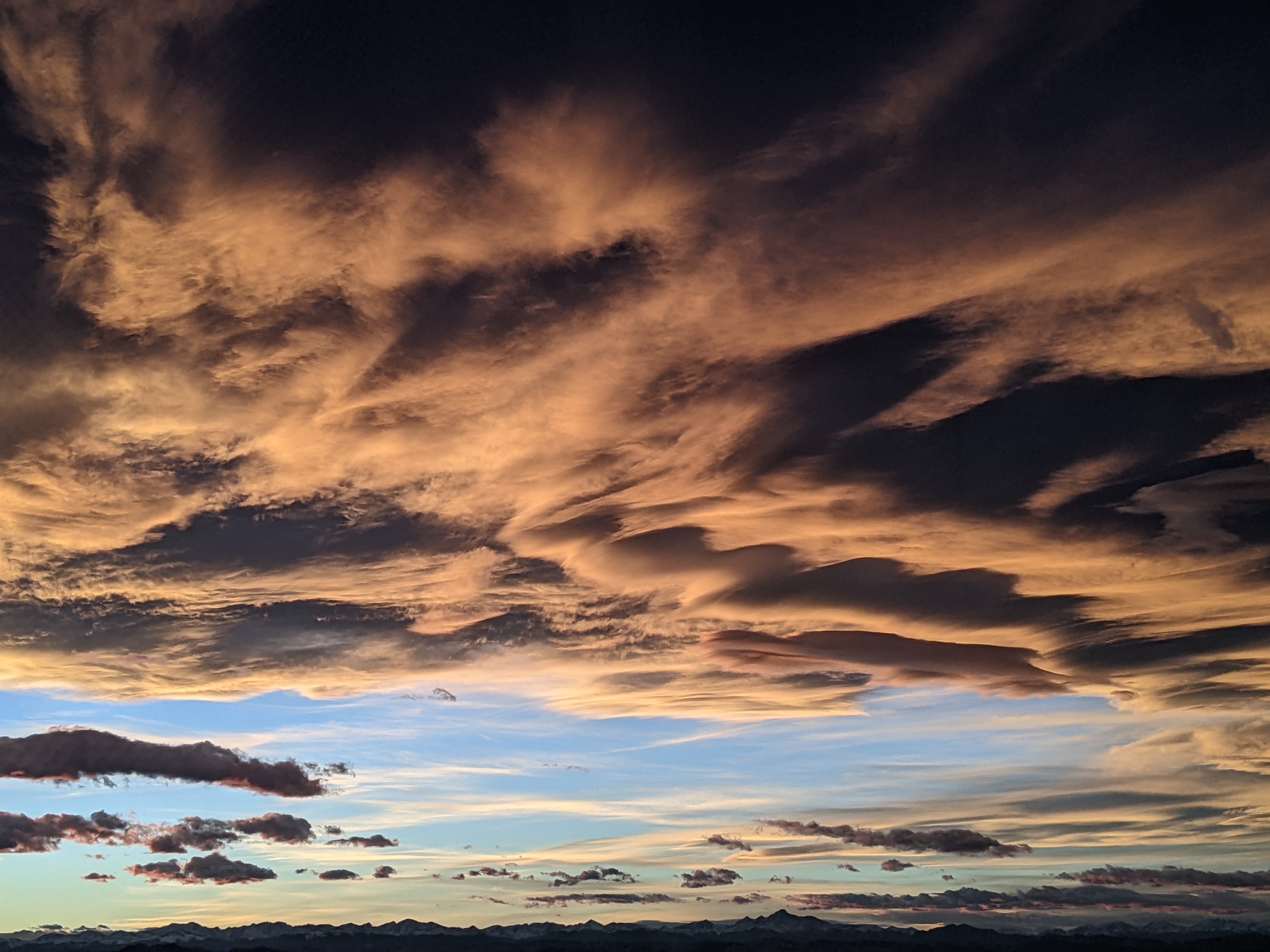
Steamboat Springs area weather forecast from Monday
Monday, May 23, 2016
A storm just off the West Coast is producing a relatively dry southwest flow over our area from the desert southwest. There will still be a chance of light afternoon and early evening showers for today and Tuesday as numerous weak waves of energy travel over our area.
By Wednesday, the storm will be kicked eastward by another storm dropping south from the Gulf of Alaska, traveling across central Arizona and New Mexico by Thursday. This storm will be strong enough to bring a cool front through the area sometime on Thursday with an increasing chance of afternoon and evening showers.
As the storm moves east of the area by Friday, cool weather with stronger storms are likely in the northwest flow behind the storm during the afternoon and early evening, with showers starting as soon as noon.
Meanwhile, the kicker storm from the northwest is forecast to cross the Northwest Coast on Friday and spin over Idaho on Saturday and Sunday, keeping the cool and unsettled weather around for most the weekend.
There is uncertainty for later Sunday and Memorial Day as the ECMWF splits the the Idaho storm earlier than the GFS, with the northern stream moving just north of our area on Sunday while the GFS is about a day later. Currently, it appears that most of the weather will be north and east of our area when the storm moves past.
Add comment
Fill out the form below to add your own comments


