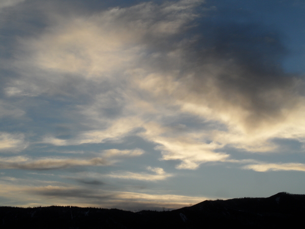
Steamboat Springs area weather forecast from Sunday
Sunday, May 15, 2016
Another couple of rounds of showers timed for later this afternoon and mid-evening will pass over the area today.
Then, energy and cool air still rotating around the old Great Lakes storm that was over our area earlier this week will mix with a storm forecast to be over the Great Basin on Monday, and energy ejecting ahead of the storm will bring cool and showery weather to start Monday. A well defined lead shortwave then travels near our area later in the day, bringing moderate to sometimes heavy showers for Monday afternoon and evening. Snow levels for the entire work week will be around 8000′ - 9000′, lowering during the night and also in the presence of heavy showers, and rising during the day.
More cool air washes over our area from the Great Lakes storm on Tuesday, reinforcing the cool temperatures and possibly bringing some stray snowflakes to the Steamboat valley overnight and early in the morning. The main storm then approaches Colorado later Tuesday and brings another round of moderate to heavy showers Tuesday afternoon and evening.
Continued cool and showery weather with the possibility of strong afternoon storms are on tap for Wednesday and Thursday as the storm passes south of our area and eventually moves east of the Rockies.
Afternoon showers should decrease in intensity for Friday as the airmass dries before another large storm approaches the Pacific Northwest late in the work week. The ECMWF brings wet weather to our area late in the weekend while the GFS is a bit slower and eventually further north, sparing the weekend.


