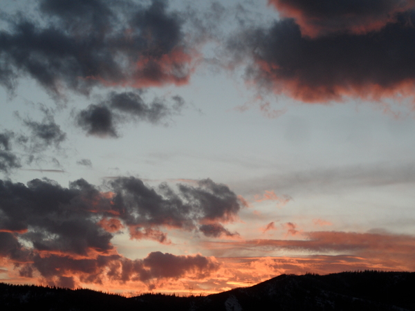
Steamboat Springs area weather forecast from Saturday
Saturday, May 14, 2016
A new Pacific storm is currently crossing the Pacific Northwest coast and will drop into the Great Basin by Sunday, increasing moisture, southwest winds and upward motion over our area tomorrow. Ahead of the storm, some energy moving over the area tonight might bring some evening showers that should end by midnight. Showers may start again relatively early in the day Sunday and become stronger by the afternoon and early evening.
Energy and cool air still rotating around the old Great Lakes storm that was over our area earlier this week will mix with the Great Basin storm on Monday, and energy ejecting ahead of the storm will bring cool and showery weather to start Monday. A well defined lead shortwave then moves further south of our area than earlier forecast, reducing the chance of heavier precipitation but keeping lighter showers around. Snow levels for the entire work week will be around 8000′ - 9000′, lowest during the night and rising during the day.
More cool air washes over our area from the Great Lakes storm on Tuesday, reinforcing the cool temperatures and possibly bringing some stray snowflakes to the Steamboat valley early in the morning. The main storm then approaches Colorado later Tuesday and brings a round of moderate to heavy rainfall Tuesday afternoon and evening.
Continued cool and showery weather with the possibility of strong afternoon storms are on tap for Wednesday and Thursday as the storm passes south of our area and eventually moves east of the Rockies.
Currently, Friday may be a relatively precipitation-free day before another large storm approaches the Pacific Northwest late in the work week and threatens our weather for next weekend.
Add comment
Fill out the form below to add your own comments


