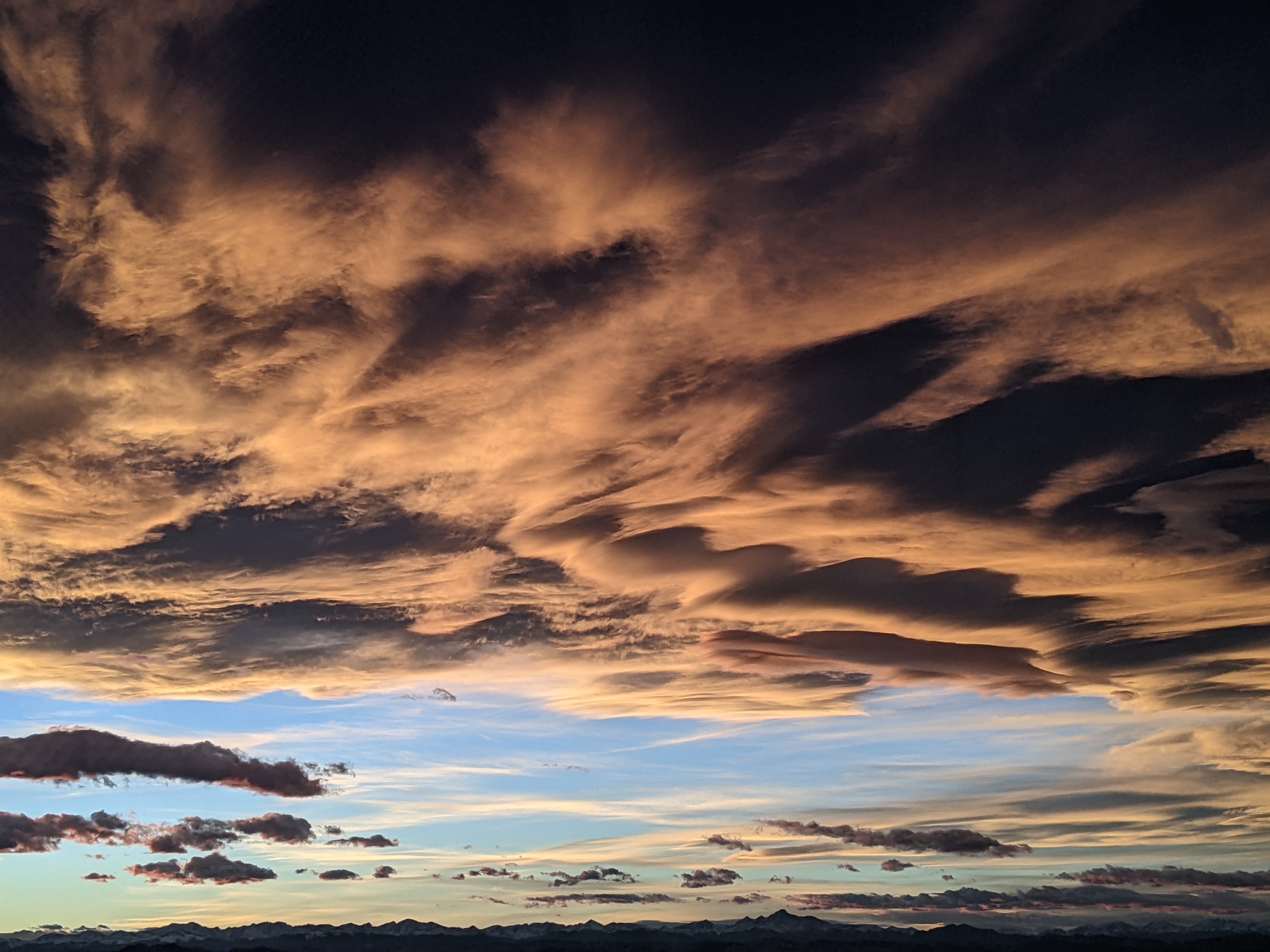
Steamboat Springs area weather forecast from Friday
Friday, May 13, 2016
Yet another wave rotating around the storm that affected us earlier this week, currently located north of the Great Lakes, has brought some cooler temperatures to the Front Range today. Some of this air looks to briefly filter over the Continental Divide Friday night into early Saturday before westerly winds force the front to retreat eastward in the morning. Lingering moisture in the warm airmass will fuel the threat of some Saturday afternoon showers that may extend into the evening.
Meanwhile, a Pacific storm is forecast to cross the Pacific Northwest coast late Saturday and drop into the Great Basin by Sunday. Transient ridging ahead of the storm should bring a warm and breezy day for Sunday, though there will be periods of sun and showers.
Energy and cool air still rotating around the old Great Lakes storm will mix with the Great Basin storm on Monday, and energy ejecting ahead of the storm will bring cool and showery weather to start Monday. A well defined lead shortwave then moves over our area later Monday, bringing the threat of moderate to heavy rainfall Monday night into Tuesday, with snow levels around 8000′ - 9000′.
There may be a brief break early Tuesday before the main storm approaches Colorado later Tuesday and brings another round of moderate to heavy rainfall Tuesday afternoon and evening.
Continued cool and showery weather with the possibility of strong afternoon storms are on tap for Wednesday and Thursday as the storm passes south of our area and eventually moves east of the Rockies.
Currently, Friday may be a relatively precipitation-free day before another large storm approaches the Pacific Northwest by the weekend. Right now, it looks a ridge finally wants to develop over the Rockies which deflects the brunt of the storm to our north and east.
Add comment
Fill out the form below to add your own comments


