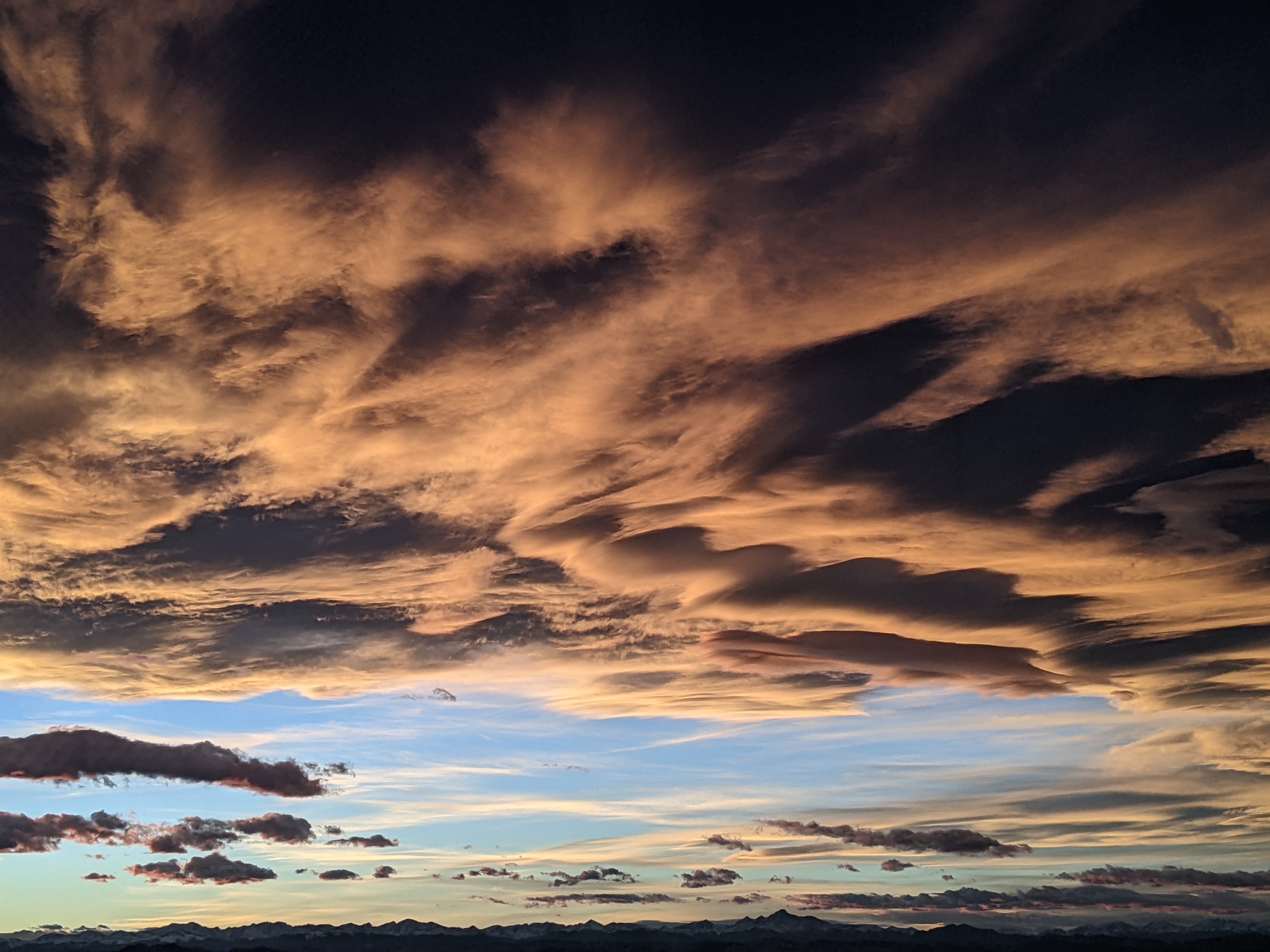
Steamboat Springs area weather forecast from Monday
Monday, May 9, 2016
After about 15” of snow over the last few days fell on top of Mount Werner, one last colder storm from the Pacific Northwest, currently in Idaho, will affect our area with precipitation tonight and cooler temperatures Tuesday and Wednesday before spring returns by Thursday.
A band of moderate to heavy showers look to cross the area around mid-evening in the unstable air ahead of the front. Showers may decrease for a brief time before quickly becoming strong again with the frontal passage around midnight, which is about twelve hours faster than the last few forecasts. We’ll likely see another 2-5” of snow on the hill, with some snow accumulating on the grassy surfaces of the valleys along with breezy westerly winds.
Models are now consistent (the NAM model has joined the more consistent AVN) in keeping most of the precipitation to our south and north on Tuesday, leaving our area mostly precipitation free in cool springtime temperatures, except for the possibility of the obligatory afternoon showers.
A trailing wave is forecast to rotate through northern Colorado on Wednesday, keeping cool temperatures and breezy conditions over our area with a chance of afternoon showers.
Thursday still looks warm and mostly sunny before some cool and dry air to our east from the Canadian Plains may bring some cooler temperatures to the area for Friday, though at this point it is uncertain whether this airmass will make it over the Continental Divide. Saturday may remain pleasant before more cool air from the Canadian Plans and an incoming Pacific storm combine to possibly threaten our weather late in the weekend.
Add comment
Fill out the form below to add your own comments


