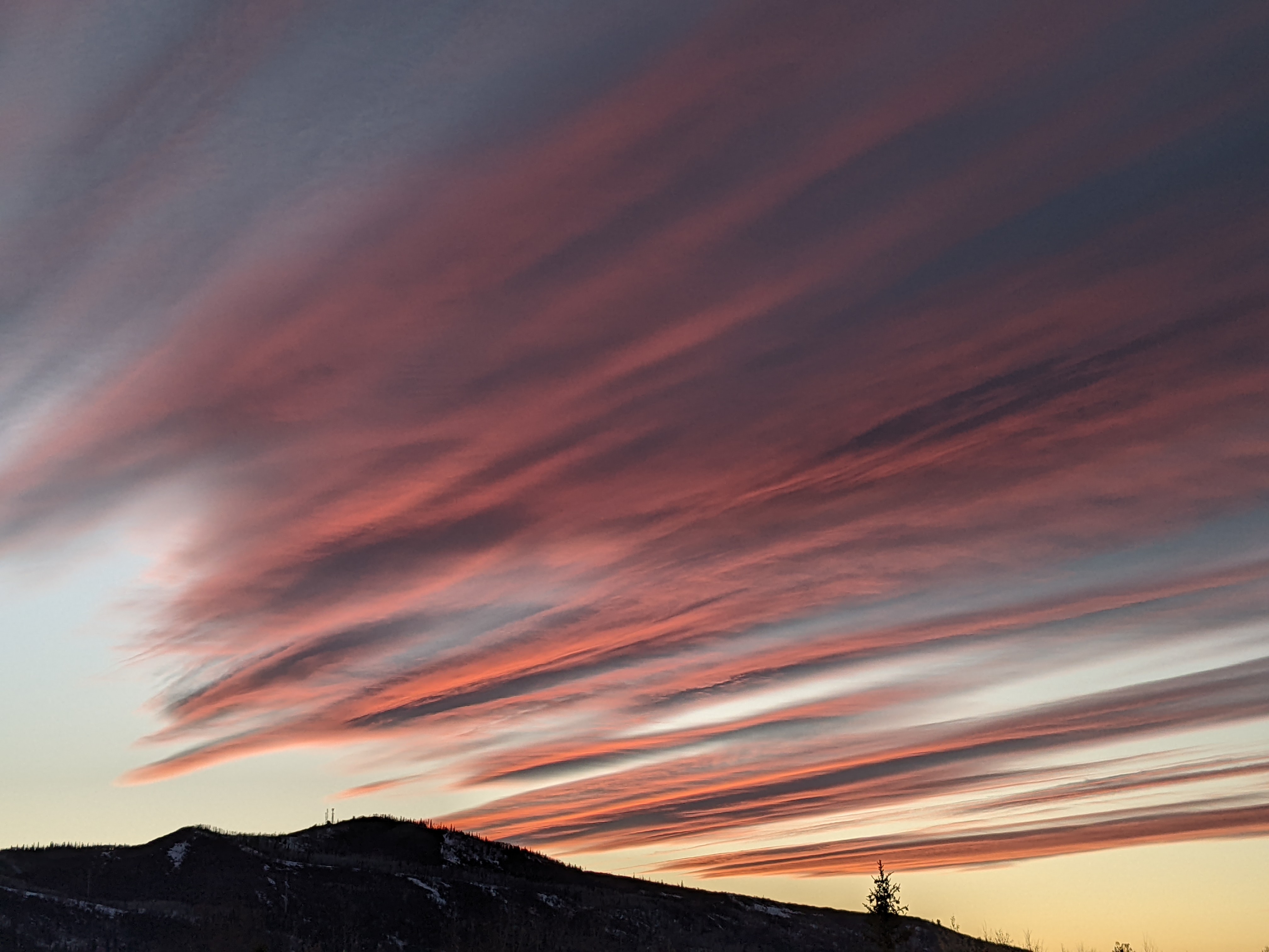
Steamboat Springs area weather forecast from Sunday
Sunday, May 8, 2016
Since the snow stake was cleared early this afternoon on the top of Sunshine Peak, where an inch of snow had fallen on top of yesterday’s 4”, about 5” of additional snow has fallen near the top of Mount Werner as shown by the Steamboat Powdercam, with 1”/hour snowfall rates over the last couple of hours.
Snow levels have dropped to near 7500′ this evening, and continued snow showers above that level and rain or mixed rain and snow showers below that level will continue overnight. There may be another 2-5” overnight on the hill as a short range model has periods of sometimes moderate showers continuing.
By Monday, the storm that has affected us since Friday will be east of our area, though we will still be susceptible to showers during the first half of the day as energy rotates around the backside of the low.
A colder storm from the Pacific Northwest is forecast to quickly follow this storm after a brief break during Monday evening into Tuesday morning. This will bring a moderately strong cold front through the area around midday Tuesday, with the possibility of some snow down to the valley bottoms by Tuesday night.
Previous forecasts had moisture quickly eroding behind the front, but now there is disagreement among the models, leading to uncertainty with respect to the duration of the precipitation. I’m inclined to side with the numerical guidance that has more energy upstream, bringing around 3-6” of snow on the mountain by Wednesday morning and likely allowing for accumulating snowfall on the grassy surfaces of the valleys.
Going with the slower solution also keeps showers around the area for Wednesday, delaying the drying until the evening. But Thursday and Friday still look warm and mostly sunny before some cool air from the Canadian Plains and incoming Pacific energy combine to possibly threaten our weather late in the weekend.


