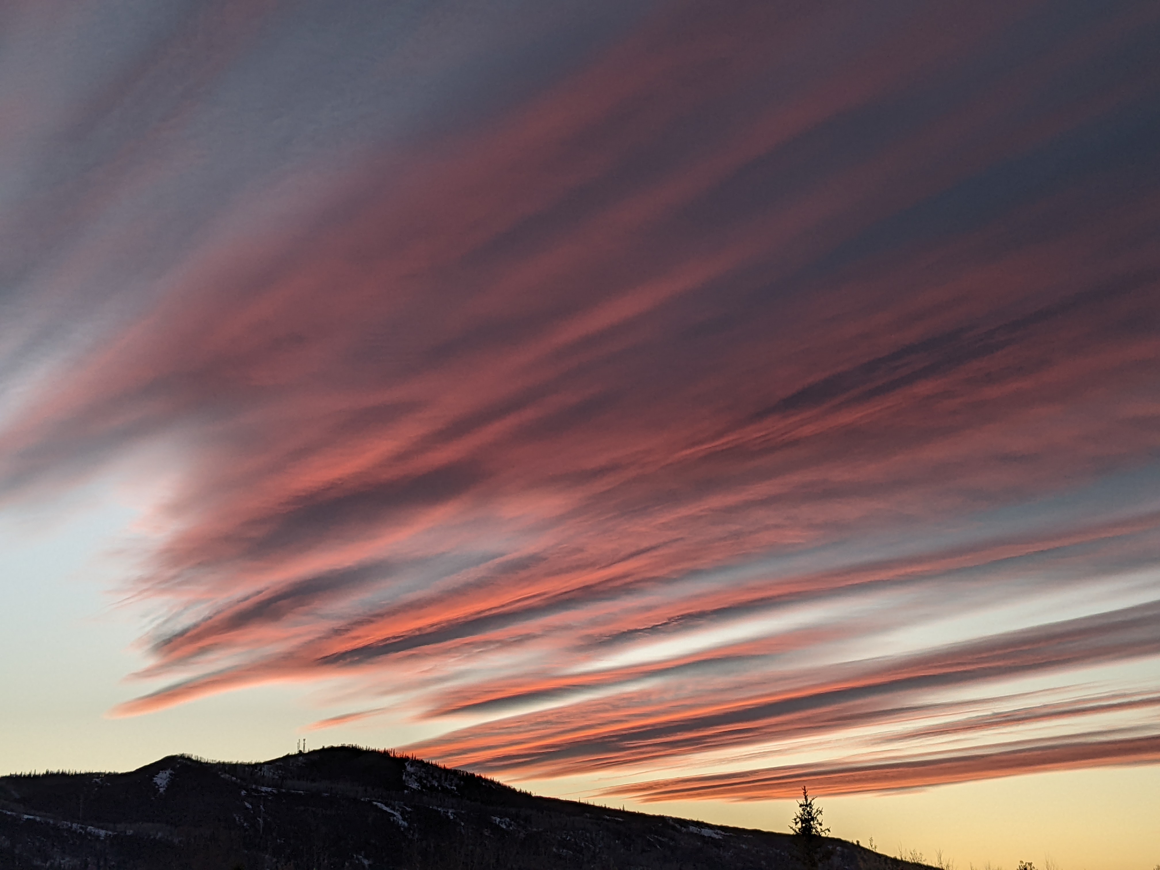
Steamboat Springs area short term weather forecast from Wednesday night
Wednesday, April 6, 2016
After another couple of beautiful warm and sunny spring days Thursday and Friday, a possibly prolonged period of relatively warm and unsettled weather starts Closing Weekend and extends through the following week.
A piece of the just-passed Tuesday storm, left behind and loitering west of Baja, is forecast to be pushed just south of our area Friday night by another splitting Pacific storm upstream. This storm will be warm due its vacation west of Baja, bringing a chance of rain showers to the valley and snow showers to the higher elevations Friday night with little or no accumulations.
The southern part of the split Pacific storm will bring more low elevations rain showers and higher elevations snow showers during the day Saturday as it crosses the southern California coast and enters the Great Basin. Current forecasts have the bulk of the southern stream energy staying just south of our area on Sunday, continuing the warm and showery weather for Closing Day.
Spring weather turns unsettled for Closing Weekend and beyond
A possibly prolonged period of relatively warm and unsettled weather starts Closing Weekend and extends through the following week after a string of fine spring days to close out the current work week.
A piece of the just-passed Tuesday storm, left behind and loitering west of Baja, is forecast to be pushed just south of our area Friday night by another Pacific storm upstream. The storm will be warm due its vacation west of Baja, bringing a chance of rain showers to the valley and snow showers to the higher elevations Friday night with little or no accumulations.
Meanwhile, the cold Pacific storm upstream is forecast to split around a rapidly building Gulf of Alaska ridge, and models are struggling with how much energy is partitioned in the northern and southern streams of the split, leading to forecast uncertainty.
Regardless, more low elevations rain showers and higher elevations snow showers are expected during the day Saturday as the southern stream crosses the southern California coast. Current forecasts have the bulk of the southern stream energy staying just south of our area on Sunday, continuing the warm and showery weather for Closing Day. There will likely be a weak cool front associated with the northern stream moving across our area later in the day and into the evening Sunday, but by then most of the moisture and energy associated with the southern stream has past, minimizing it’s impact over Steamboat Springs, but possibly bringing significant weather to the Front Range by Monday.
There is a lot of energy in the Pacific, and an active period is forecast for the following week, with models disagreeing on another possibly major storm around Wednesday. It’s a shame that Steamboat is planning to close Sunday as the mountain bases will likely continue to build through April.
Steamboat Springs area short term weather forecast from Tuesday night
Tuesday, April 5, 2016
Spring will return Wednesday after a brief blast of winter moved over our area today.
Warming temperatures and abundant sunshine will be on tap for the rest of a very pleasant work week before a possibly prolonged period of wet and relatively warm weather starts around Saturday afternoon.
Steamboat Springs area short term weather forecast from Monday night
Monday, April 4, 2016
A weak front will pass through the area tonight bringing breezy westerly winds and rain showers to the valleys and snow showers to the hill after midnight, possibly leaving an inch or two on the mountain by the morning ski report.
A quick-moving storm from the Pacific Northwest passing through our area on Tuesday will bring continued snow to the mountain and snow showers to the valleys with breezy to windy northwest winds and even the possibility of some thunder in the afternoon.
Models are struggling with the southern extent of the system, but an additional 3-6” may fall on the mountain by the time the precipitation ends Tuesday evening, with little or no accumulations in the valleys.
Skies will clear and spring will return for midweek into the beginning of the weekend before a possibly prolonged period of wet and relatively warm weather starts around mid-weekend.
Steamboat Springs area short term weather forecast from Sunday night
Sunday, April 3, 2016
After another spring day Monday, with even some afternoon and evening showers possible later in the day, winter returns on Tuesday as a quick-moving storm from the Pacific Northwest brings snow to the mountain and snow showers to the valleys with breezy to windy northwest winds.
Models are struggling with the southern extent of the system, but if the stronger solution verifies, as much as 4-8” of snow may fall on the mountain during the day and into the evening Tuesday, to be reported Wednesday morning.
Skies will clear and spring will return for midweek into the beginning of the weekend before a possibly prolonged period of wet weather starts around mid-weekend.


