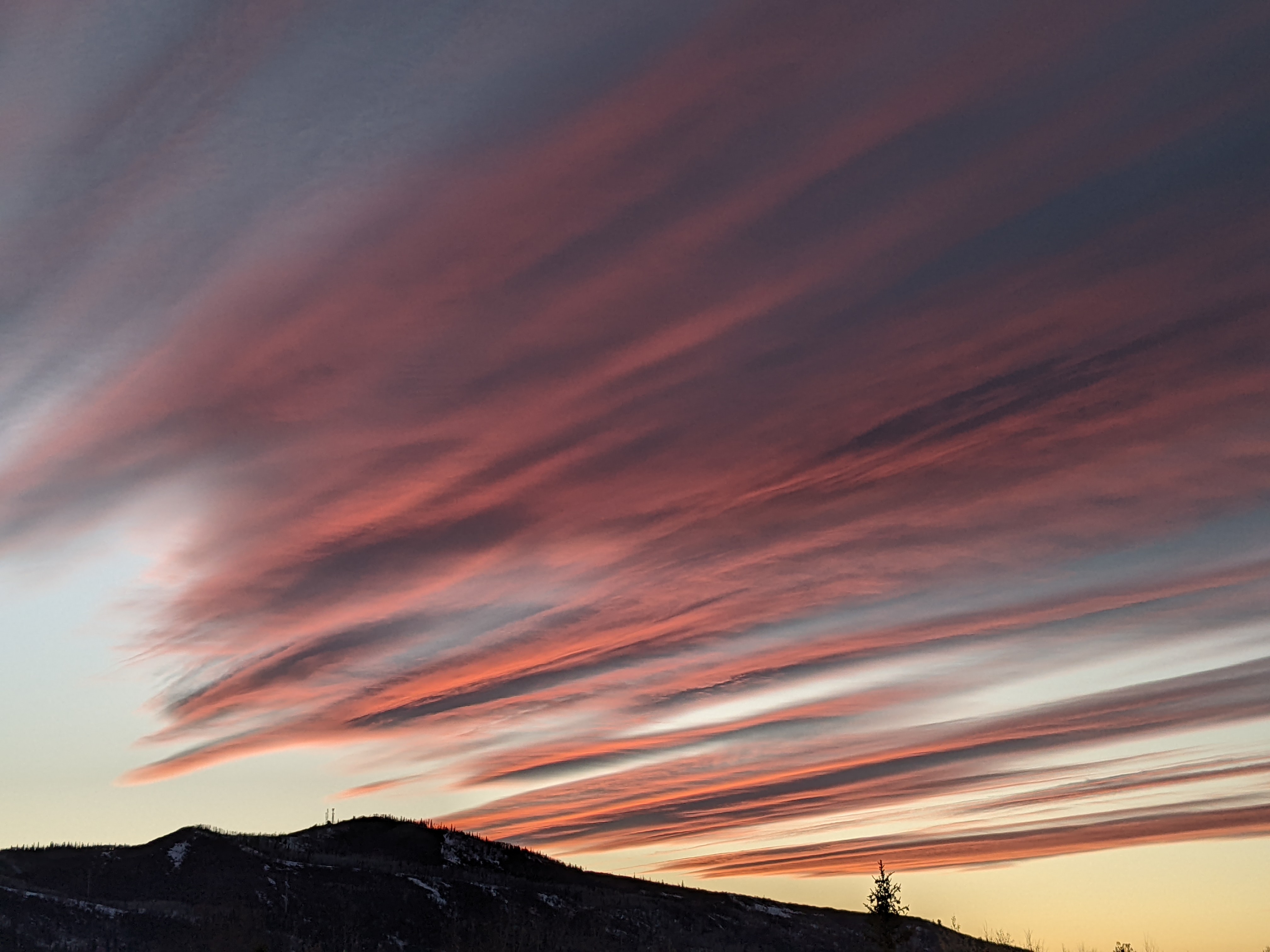
Steamboat Springs area weather forecast from Friday night
Friday, April 29, 2016
The last major storm in the near term, forecast to cross the Pacific Northwest coast tonight and then take up residence in the Great Basin for the weekend and beginning of next week, will mix with energy from the previous storm spinning east of us by tomorrow.
The NAM and AVN models have converged to a compromise solution over the past 24 hours, keeping light showers going for Saturday with some stronger showers advertised for the afternoon.
As the Great Basin storm moves mostly south of us on Sunday, some drier air moves over allowing the sun to make an appearance for a relatively nice day, though there will still be a chance of afternoon showers.
The storm waffles around the area around Monday before parts of it start moving east of our area around Tuesday. Monday will be cool and showery for most of the day before enough drying takes place overnight to allow the sun to reappear for Tuesday morning. The sun will cook the remaining moisture in the atmosphere during the day and keep the threat of afternoon storms, possibly strong, high for Tuesday.
Wednesday and Thursday and possibly early Friday should bring a nice springtime break in the active weather with warming and drying, though the ECMWF has recently latched on to a cutoff feature that may linger just north of us through midweek and bring clouds that will reduce the warming.
Yet another large storm looks to affect our weather as soon as Friday afternoon and lasting through Mother’s Day weekend.
Add comment
Fill out the form below to add your own comments


