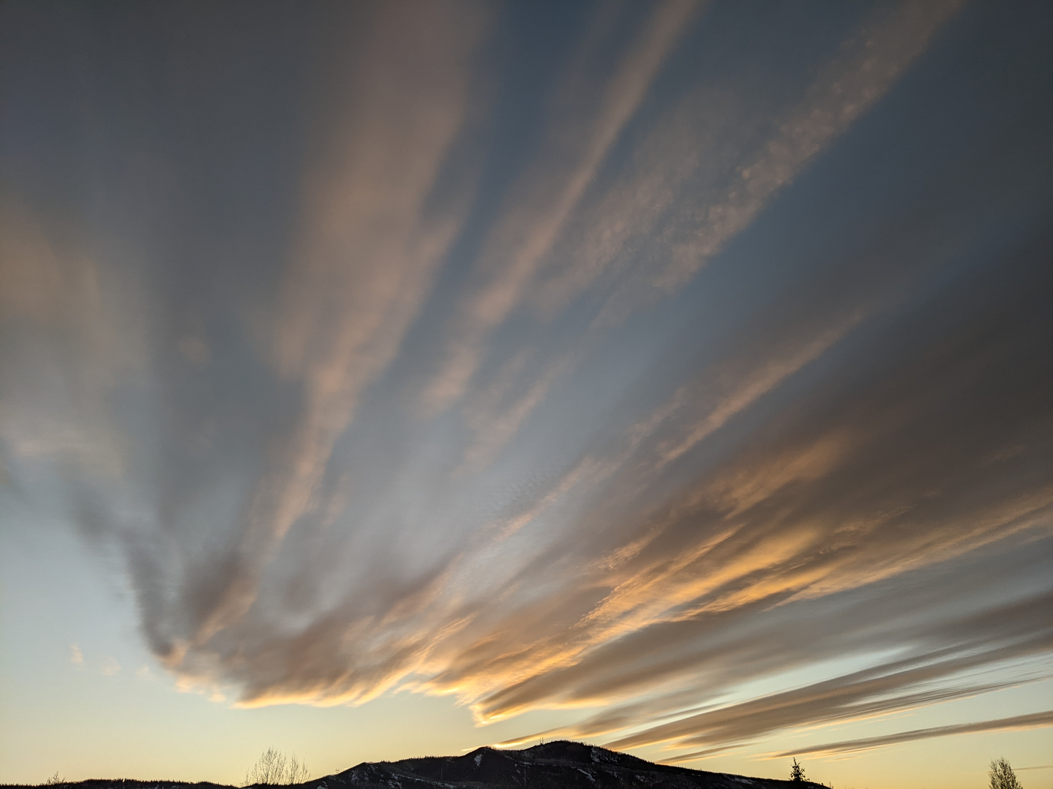
Steamboat Springs area weather forecast from Monday afternoon
Monday, April 25, 2016
Three more storms will affect our area for the next week in a complicated manner. Pieces of energy from the first storm on Tuesday will break off with some of the energy moving westward and eventually mixing with the both the second storm later Thursday and third storm mid-weekend as they cross the Great Basin.
Rain showers in the valleys and snow showers on the mountain should pick up in intensity around mid-evening tonight and last most of the night.
There may be a break in precipitation Tuesday morning before the showers are forecast to become stronger and longer lasting in the afternoon and evening, with some rain showers mixing with snow showers in the valleys. This storm will likely bring some accumulating snow to the grassy surfaces in the valleys and 5-10” on the mountain by Wednesday afternoon if the current forecast holds.
There may be a break in the inclement weather for Wednesday afternoon into the first part of Thursday before the second storm, forecast to cross the central California coast on Wednesday and then travel across the Great Basin, brings showers to our area as soon as Thursday afternoon and threatens another cool and wet weekend.
Add comment
Fill out the form below to add your own comments


