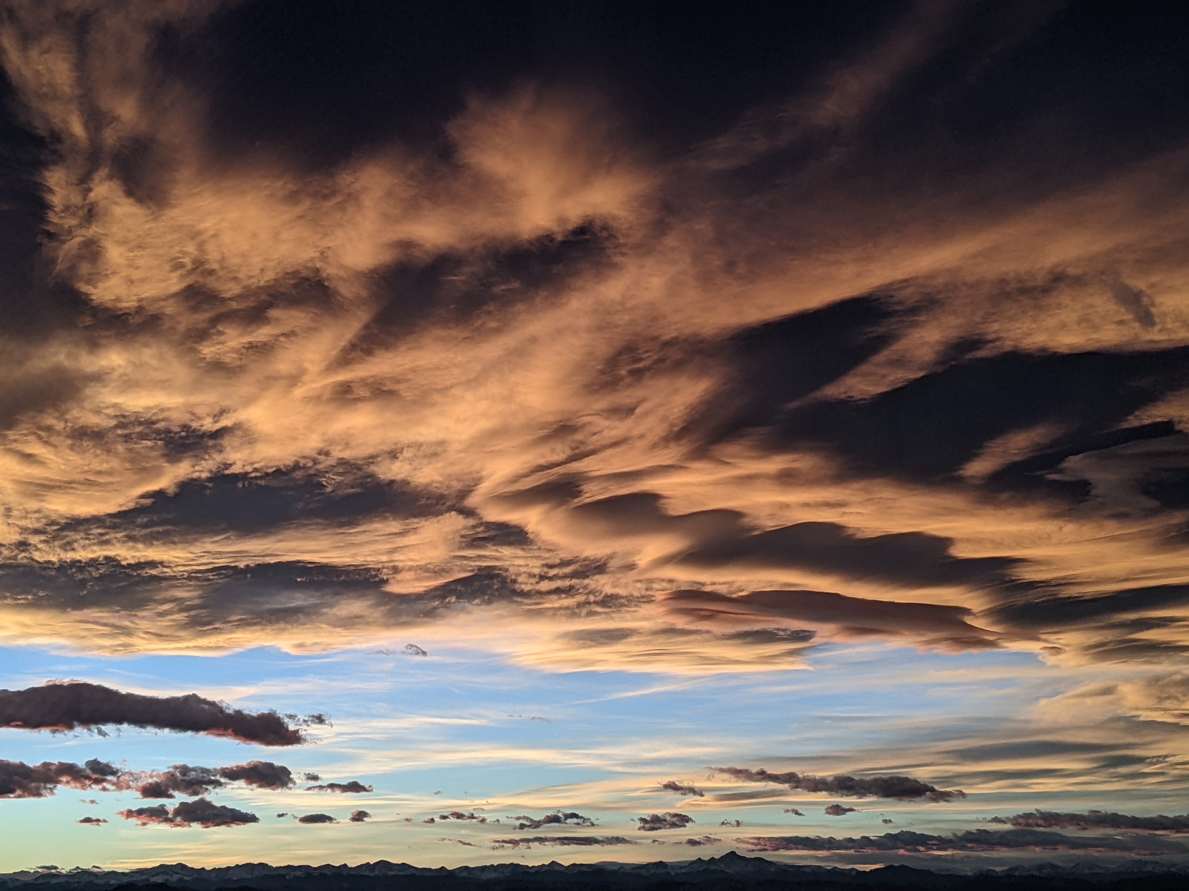
Steamboat Springs area short term weather forecast from Thursday night
Thursday, April 21, 2016
Another beautiful and warm spring day is on tap for Friday before a series of storms impacts our area again starting Saturday afternoon, continuing the active weather through what looks like the end of the month.
The next storm traveling across the Great Basin on Saturday and eventually southern Wyoming by Sunday brings a cold front, with some thunder possible if the timing is right, through the area around Saturday afternoon. Breezy southwest winds will develop during the day ahead of the front as the storm approaches. The storm has trended a bit further north in the latest model runs, bringing less precipitation to our area, though we may still see some snowflakes mixed in with some light rain rain in the valleys and light snow on the mountain, yielding around an inch or two by Sunday.
Showers will likely remain Sunday as the cool and breezy northwest flow keeps the weather unsettled, though we should see some sun in the afternoon as the storm moves east of our area.
There will be a break Sunday night into Monday morning before breezy southwest winds and possible afternoon showers develop ahead of the storm in the wave train. Current forecasts have showers turning into more persistent precipitation on Tuesday and lasting through midweek as the storm moves across the Great Basin.
Add comment
Fill out the form below to add your own comments


