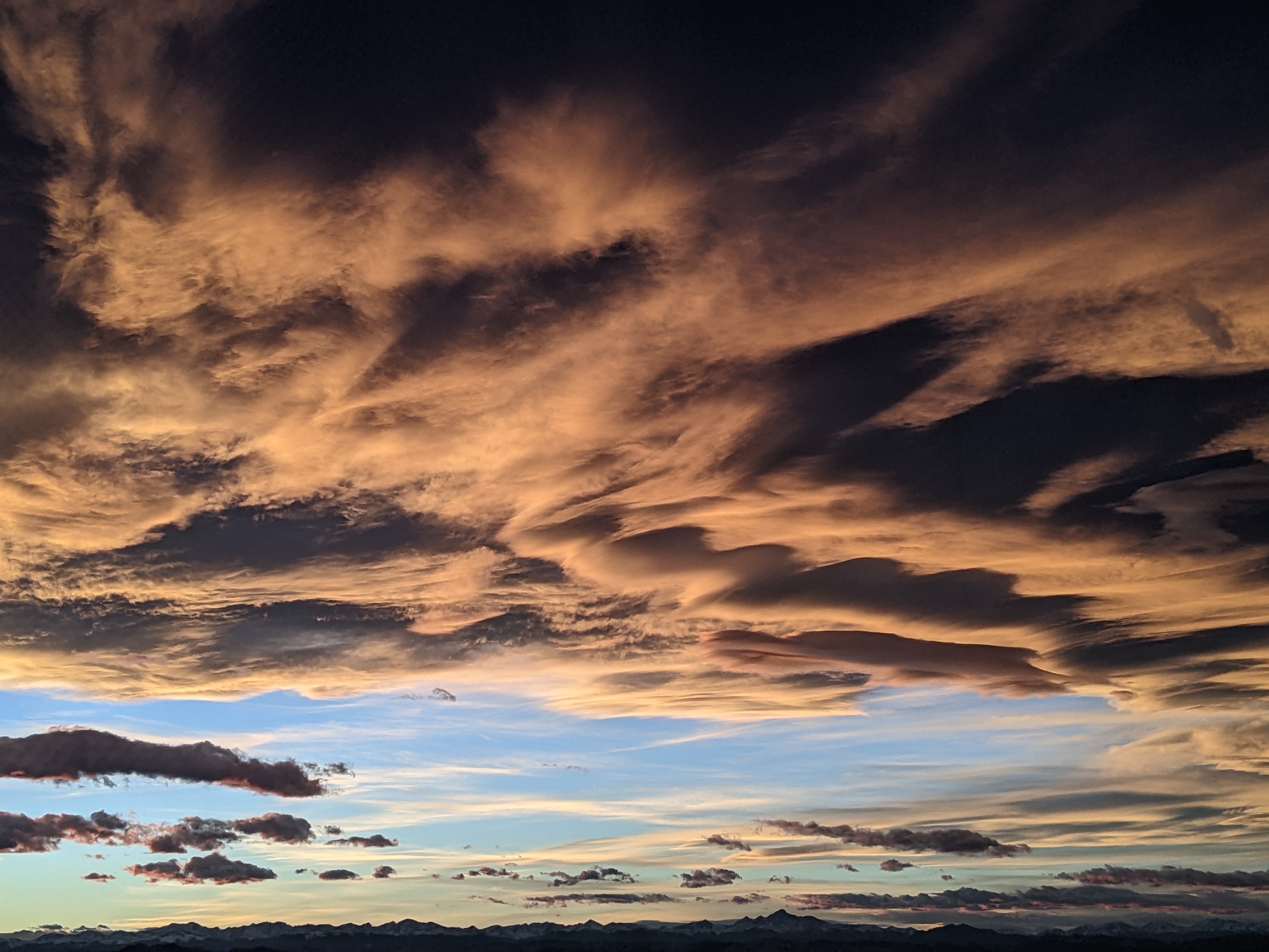
Steamboat Springs area short term weather forecast from Wednesday night
Wednesday, April 20, 2016
Spring briefly returns to the area starting Thursday until a series of storms impacts our area again starting Saturday afternoon, continuing the active weather through what looks like the end of the month.
A nice warm up is in store for the rest of the work week before another storm traveling across the Great Basin and eventually southern Wyoming brings a cold front through the area around Saturday afternoon. Breezy southwest winds will develop during the day ahead of the front as the storm approaches. There is a bit more cold air associated with this system than earlier forecast, so we may see some snowflakes mixed in with the rain in the valleys with snow accumulating at the higher elevations.
Showers will likely remain Sunday as the cool northwest flow keeps the weather unsettled.
There may be a break Sunday night into Monday morning before breezy southwest winds and possible afternoon showers develop ahead of the second storm. Current forecasts have showers turning into more persistent precipitation on Tuesday.


