Steamboat Springs area short term weather forecast from Sunday night
Sunday, April 17, 2016
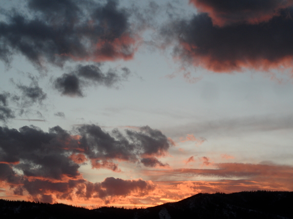
The storm-that-wouldn’t-leave is pretty much located directly over us, and there has been some clearing this afternoon under the hurricane-like eye of the storm. The storm will continue to sit and spin over or near our area for the next 2 days before finally moving east of our area around Wednesday.
There may be some snow showers overnight with no accumulations expected. Snow showers will continue Monday, and will become heavier and more frequent in the afternoon as any surface warming destabilizes the atmosphere.
It looks like we will see a short-lived break in the snow showers early in the day Tuesday before a lobe of energy, likely to bring severe weather to eastern Texas, Oklahoma and Nebraska overnight tonight, will take the long way to our area, first moving northward and reaching Montana Monday night before curving south by the Tetons and bringing likely significant snow, at least to the mountain, later Tuesday or early Wednesday.
There is now disagreement on when this energy will arrive, with the more consistent AVN bringing a last wave of snow Tuesday afternoon and overnight, while the more mercurial NAM brings the energy in about 12 hours later. The earlier solution will likely bring some sun to the valleys by Wednesday afternoon while the later solution will delay the sun until Thursday.
A nice warm up is in store for the rest of the work week, with possible rain showers Friday afternoon, before another storm threatens our area with inclement weather around mid-weekend.


