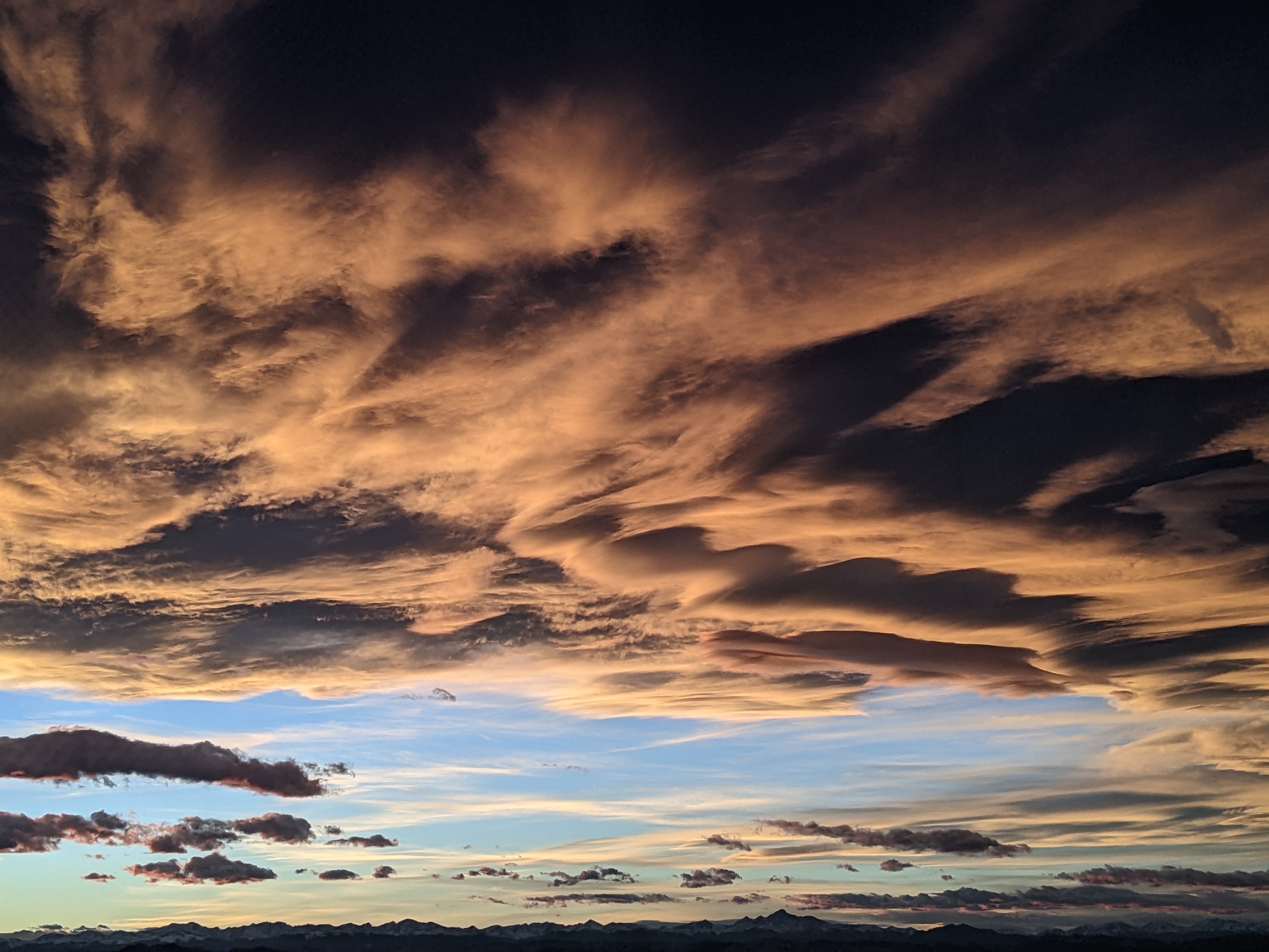
Steamboat Springs area short term weather forecast from Friday night
Friday, April 15, 2016
The very complex and still intensifying storm, now centered over northern Arizona, will continue winter impacts over our area through Monday with snow showers tapering off on Tuesday before we see a few days of warming and drying starting around Wednesday.
The cold air last night along with the strong convective nature of the storm allowed snow levels to drop to the valley bottoms soon after the front passed yesterday evening, and what I expected as rain was pretty much all snow, leading to 8” on my deck this morning.
Looking ahead, low level counterclockwise winds around the storm will draw substantial Gulf of Mexico moisture northward and westward, creating conditions that produce a TROWAL somewhere over the Colorado mountains from Saturday through Monday and strong upslope flow over the Front Range. While all of Colorado will receive substantial precipitation, the foothills look particularly favored with several feet of snow by Sunday morning. There have already been road closures on I-70 and difficult to impossible travel will persist through Saturday night.
Closer to home, snow showers may continue overnight with another inch or so of dense snow in the valleys by Saturday morning and an additional 2-5” on the mountain as the winds turn easterly and strengthen. While we are often sheltered from precipitation when easterly winds downslope off the Park Range, we can receive moderate to heavy precipitation under a TROWAL.
Models indicate the position of the TROWAL moving around through the weekend, so the periods of moderate to heavy precipitation will likely move around as well with breaks in the inclement weather. Current model solutions have snow intensifying again later Saturday afternoon into the overnight hours as the storm finally begins to weaken and lifts northward across Colorado. We’ll probably see another 3-6” of snow in the valleys by Sunday morning with 6-12” on the hill.
The heaviest precipitation will have likely ended for the Front Range by Sunday morning, and we will also see a decrease in precipitation over our area during the day Sunday. However the proximity of the slow-moving storm, eventually forecast to be in southern Wyoming by Tuesday, will continue snow showers, some perhaps moderate to heavy at times, intermittently through Tuesday night. Drier weather forecast by Wednesday afternoon before another major storm threatens next weekend’s weather.
Add comment
Fill out the form below to add your own comments


