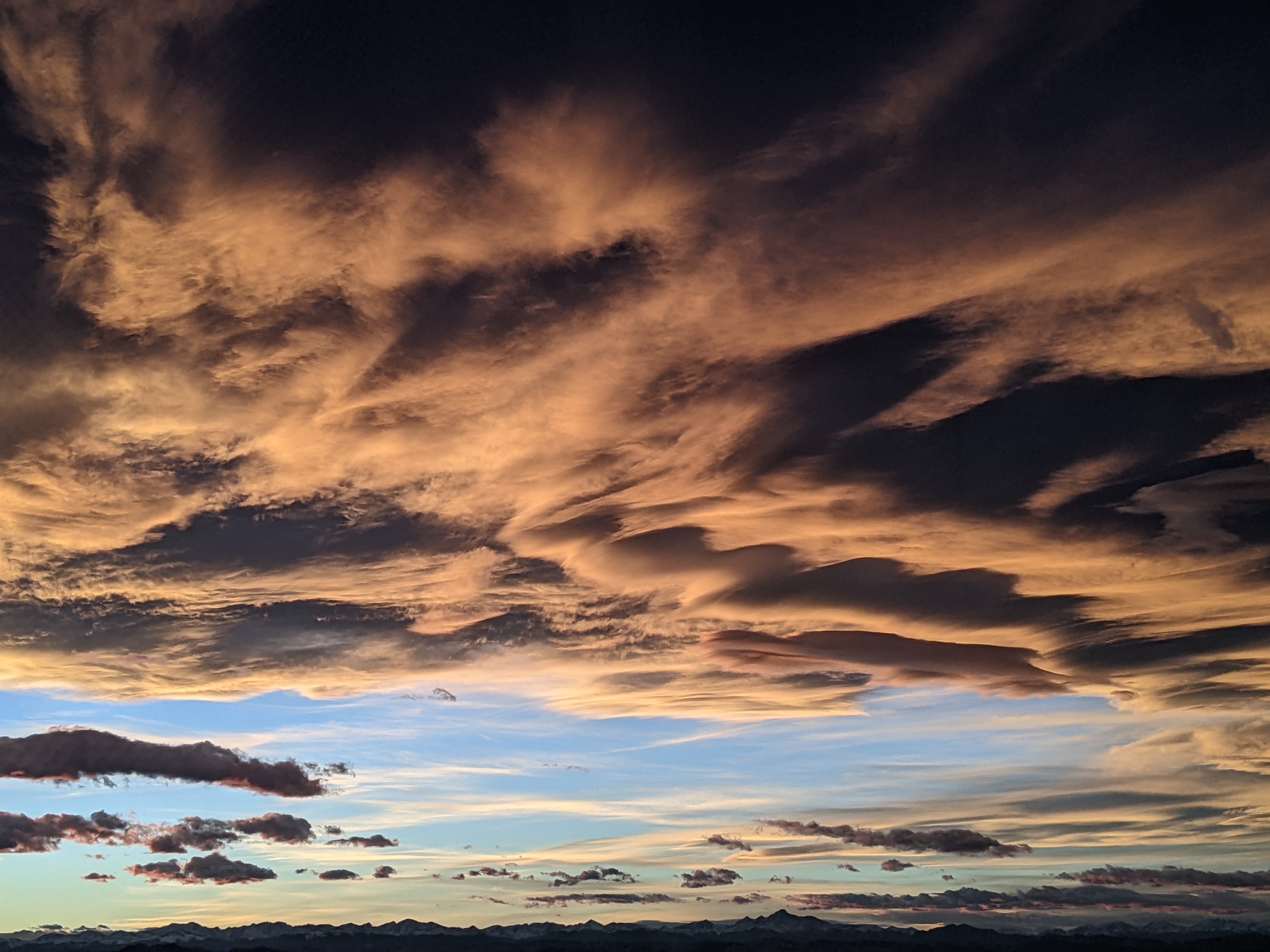
Steamboat Springs area short term weather forecast from Wednesday night
Wednesday, April 13, 2016
A major spring storm currently gathering strength off the Pacific Northwest coast will bring significant weather to our area by Friday and extending through Monday
Thursday will be warm and windy with southwesterly winds and the possibility of afternoon rain showers. During the day, the major storm strongly splits over the Pacific Northwest with most of the energy driving the storm south across the Great Basin before it settles around the Four Corners region by the weekend.
Energy ejecting out of the still intensifying storm will bring rain showers first to Craig Thursday night and then to Steamboat later in the night or early in the morning, with snow showers on the mountain. Precipitation will become heavier in the afternoon as the cool air aloft destabilizes the atmosphere and brings the possibility of thunder.
The cool air will eventually turn rain to snow during the evening as the storm strengthens significantly. By Friday night, the low level counterclockwise winds will draw substantial Gulf of Mexico moisture into the storm creating conditions that produce a TROWAL somewhere over the Colorado mountains from Saturday through Monday and strong upslope flow over the Front Range. While all of Colorado will receive substantial precipitation, the foothills look particularly favored with 12-18” of snow expected by Saturday afternoon that will make travel on I-70 west of Morrison difficult to impossible. There may be road closures.
Closer to our area, I would expect 1-3” of dense snow in the valleys by Saturday morning with 5-10” on the mountain as the winds turn easterly. While we are often sheltered from precipitation when easterly winds downslope off the Park Range, we can receive moderate to heavy precipitation under a TROWAL.
Models indicate the position of the TROWAL moving around through the weekend, so the periods of moderate to heavy precipitation will likely move around as well. The easterly upslope flow for the Front Range, however, will be persistent, and another 12-18” of snow may fall from Saturday afternoon through Monday afternoon, continuing the travel problems on the I-70 corridor.
There may be a decrease in precipitation over our area during Sunday before the storm moves east enough to bring northwest flow and more snowfall to the area for Sunday night through Monday. Snows should taper off Tuesday with warmer and drier weather currently forecast by Wednesday.


