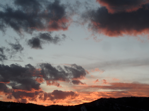
Steamboat Springs area short term weather forecast from Friday night
Friday, April 8, 2016
Several storms passing to our south will keep warm and showery weather over the area through midweek.
The forecast storm for tonight has weakened enough so that only clouds are expected, keeping overnight temperatures mild. But mostly cloudy skies will remain for Saturday as an additional weak storm crosses the Great Basin, increasing the chance of afternoon and evening rain showers at low and mid elevations and afternoon snow showers at high elevations, with the rain-snow line possibly as high as 9500′ - 10000′.
Yet another southern storm makes landfall early Sunday and may phase with a weak cool front associated with a passing storm to our north later in the day and into the evening Sunday. This front may be the focus of stronger showers Sunday afternoon and evening and could lower snow levels to around 8000′ after it passes.
More afternoon showers are forecast for Monday through Wednesday as additional warm Pacific storms move along the U.S. - Mexico border.
Add comment
Fill out the form below to add your own comments


