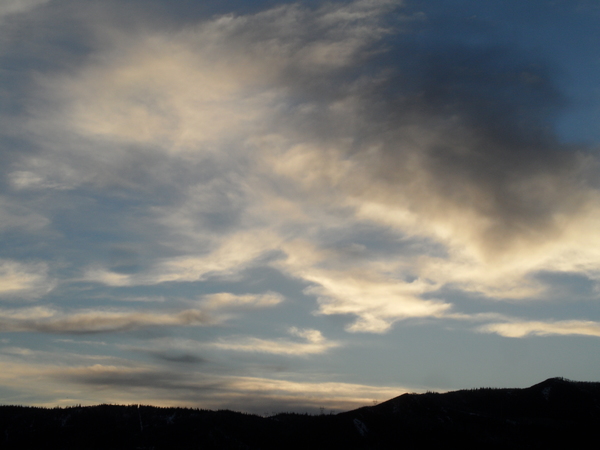
Spring weather turns unsettled for Closing Weekend and beyond
Wednesday, April 6, 2016
A possibly prolonged period of relatively warm and unsettled weather starts Closing Weekend and extends through the following week after a string of fine spring days to close out the current work week.
A piece of the just-passed Tuesday storm, left behind and loitering west of Baja, is forecast to be pushed just south of our area Friday night by another Pacific storm upstream. The storm will be warm due its vacation west of Baja, bringing a chance of rain showers to the valley and snow showers to the higher elevations Friday night with little or no accumulations.
Meanwhile, the cold Pacific storm upstream is forecast to split around a rapidly building Gulf of Alaska ridge, and models are struggling with how much energy is partitioned in the northern and southern streams of the split, leading to forecast uncertainty.
Regardless, more low elevations rain showers and higher elevations snow showers are expected during the day Saturday as the southern stream crosses the southern California coast. Current forecasts have the bulk of the southern stream energy staying just south of our area on Sunday, continuing the warm and showery weather for Closing Day. There will likely be a weak cool front associated with the northern stream moving across our area later in the day and into the evening Sunday, but by then most of the moisture and energy associated with the southern stream has past, minimizing it’s impact over Steamboat Springs, but possibly bringing significant weather to the Front Range by Monday.
There is a lot of energy in the Pacific, and an active period is forecast for the following week, with models disagreeing on another possibly major storm around Wednesday. It’s a shame that Steamboat is planning to close Sunday as the mountain bases will likely continue to build through April.


