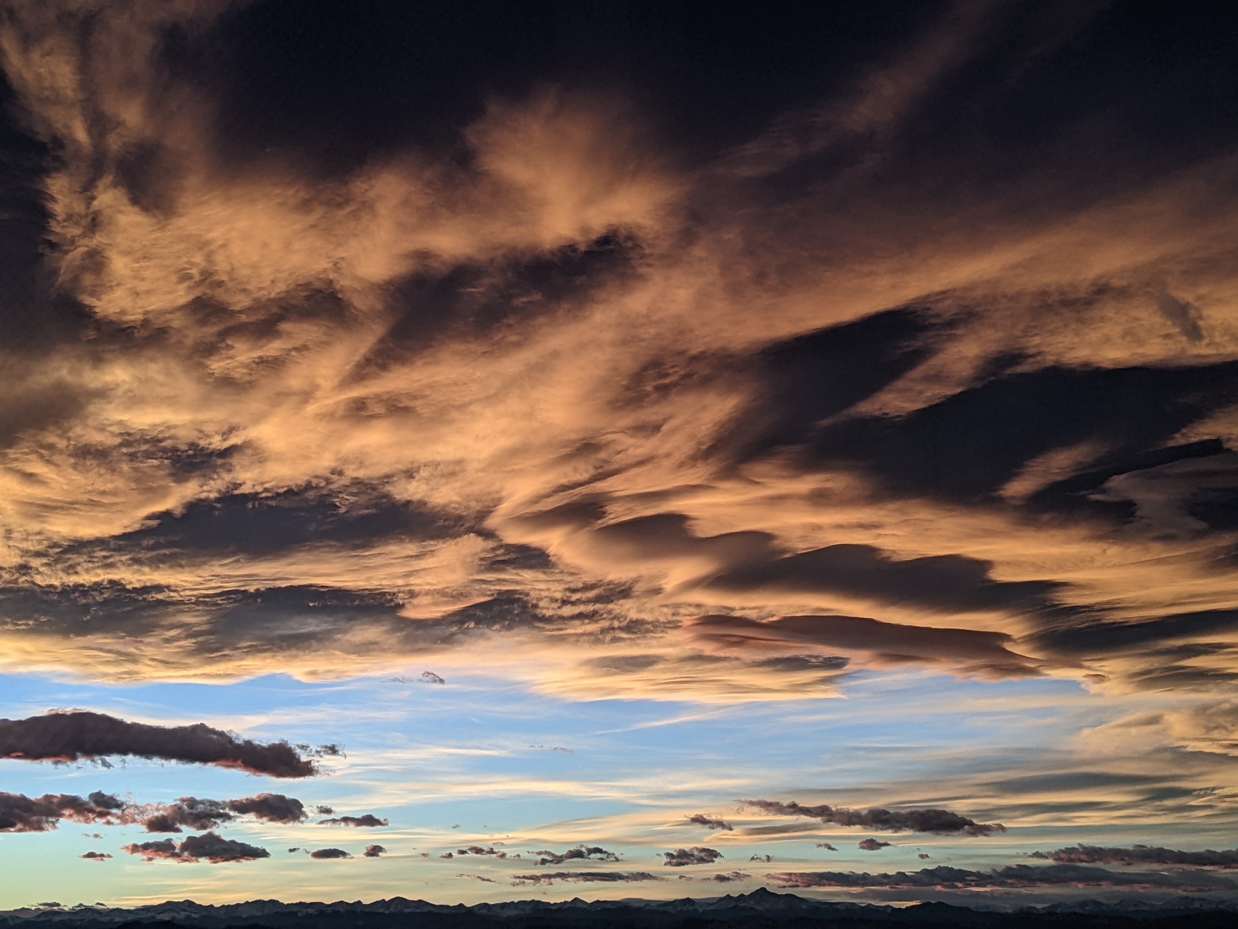
Steamboat Springs area short term weather forecast from Saturday night
Saturday, April 2, 2016
A ridge to our west will move over our area by Monday ahead of a quick-moving wave in northwest flow timed for Tuesday. But first, a minor wave traveling over the top of the ridge on Sunday brings some clouds and perhaps isolated showers to our area later in the day, especially on the mountain.
Monday looks to be similar to Sunday but a bit warmer with some afternoon instability producing scattered showers later in the day.
The next Pacific Northwest storm threatens our area beginning Tuesday and likely lingering into Wednesday, with models struggling on the southward extent of the wave and the amount of cool air drawn into it from the Canadian Plains. At this point, it looks like a moderate snow event on the mountain with breezy to windy northwest winds, though details will surely evolve as the storm approaches.
Add comment
Fill out the form below to add your own comments


