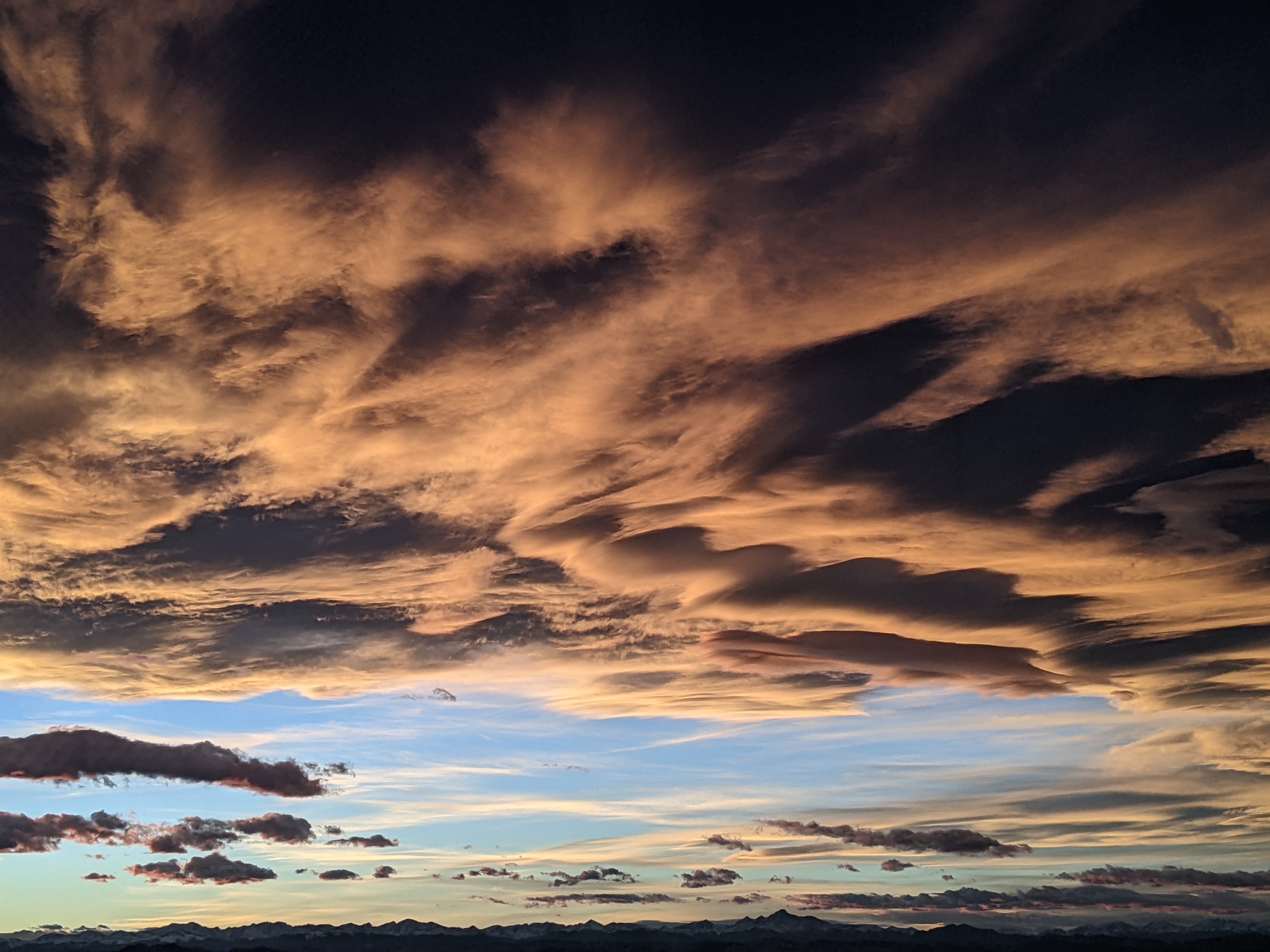
Steamboat Springs area short term weather forecast from Wednesday night
Wednesday, March 30, 2016
Snows will mostly end for tonight as we are between the departing storm to our east and an approaching wave from the north, with only another inch or so on the hill overnight.
After tonight, the last wave in this storm cycle drags some cold Canadian Plains air over the area early Thursday morning with snow continuing through most of the daytime hours. Low-density snow accumulations of around an inch in the valleys and 2-5” on the mountain are expected before snows taper off during Thursday night.
After a chilly start Friday, residual moisture will keep a mix of clouds and sun over our area from Friday through the weekend with warming temperatures expected as soon as Friday afternoon.


