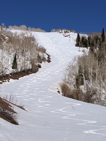
Steamboat Springs area short term weather forecast from Wednesday night
Wednesday, March 23, 2016
A minor wave passing over the area tonight may lead to 1-4” of accumulations on the mountain in addition to the 4” or 5” they received during the day today, and perhaps up to an inch in Steamboat.
Thursday will be a transition day between the departing storm and an approaching storm and only light snow showers are expected.
An approaching Pacific storm in still favorable northwest flow will begin precipitation Thursday night in mainly orographic or terrain-driven flow. Higher elevations will see more snow than lower elevations, and current forecasts have 2-4” on the mountain for each of the three twelve hour periods between sunset Thursday and sunrise Saturday, leaving 6-12” for a storm total by Saturday morning.
Steamboat will see around an inch for each of those periods, with melting snow limiting accumulations during the day Friday. Craig will likely see non-accumulating snow showers for Thursday and Friday nights, with a rain-snow mix during the day Friday.
Moisture looks to hang around for most of the weekend and possibly into Monday keeping a mix of clouds and sun in the area, with possibly some light snow showers on the mountain for Saturday.
Temperatures will warm considerably by Sunday and last through Monday as a transitory ridge moves over the area.
The next possibly significant storm may begin affecting our area by Tuesday.
Add comment
Fill out the form below to add your own comments


