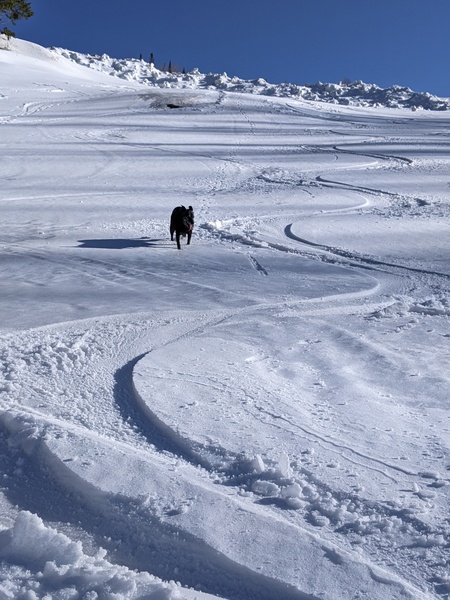
Steamboat Springs area short term weather forecast from Sunday night
Sunday, March 20, 2016
Another Pacific storm currently bringing precipitation to the Northwest will affect our weather by Tuesday as it moves across the Great Basin. High clouds will overspread the area late Monday and lower overnight as southwest winds become breezy. There may be rain showers in the valleys by Tuesday morning and snow showers higher on the hill as waves of energy begin to be ejected from the storm.
The cold front is currently forecast to cross the area around Tuesday evening bringing a burst of heavy snowfall down to the valley bottoms. Light to moderate snows will follow behind the front in cool and wet mostly northwest flow and last through noon or so on Wednesday. There is model uncertainty with respect to the timing of the front and the intensity of snowfall behind it, but current forecasts may have as much as 8-16” between Tuesday and Wednesday afternoons on the mountain and 1-4” in the valleys.
Snow showers will likely stick around from Wednesday afternoon through Thursday in cool and moist northwest flow before another Pacific storm in still favorable northwest flow approaches the area around Friday.


