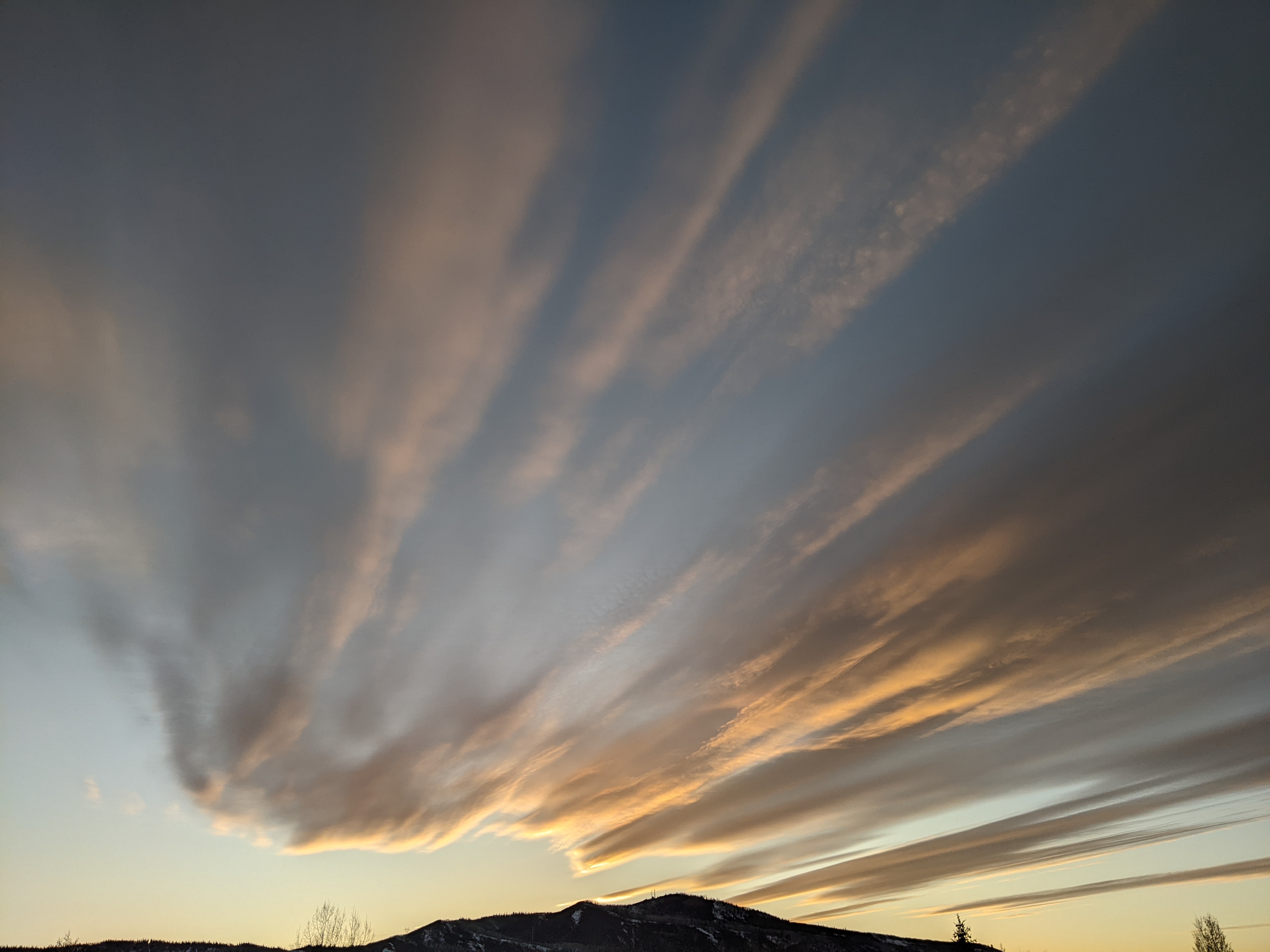
Steamboat Springs area short term weather forecast from Wednesday night
Wednesday, March 16, 2016
A moderately strong wave in cool and moist northwest flow has sagged further south than earlier models forecast and will bring another round of snowfall to the area in continued windy conditions tonight and tomorrow. There will likely be a lull in snowfall this evening before snows pick up again after midnight and continues through the day Thursday.
Again, being an orographic or terrain-driven event, there will be more snow at the higher elevations. I would expect 1-3” in Steamboat by Thursday morning and 5-10” for the morning ski report. Though snow showers will continue in Craig and Steamboat during the day, accumulations should be minimal. The mountain, however, will likely see an additional 2-5” during the day, with some of that hopefully producing Steamboat Magic. This is what I call the period of time after the 5am report and before skiing starts where the skied snow is magically several inches deeper than the report.
I am still uncertain about the Thursday night wave. Current forecasts have 1-4” overnight Thursday for the Friday morning ski report with showers tapering off during the day, especially in the valleys, but if the wave travels just a bit further west and south, we could get double that. The strong winds over the past few days will finally begin to moderate during the day.
Regardless, dry air looks to invade the area by Saturday with temperatures staying cool before warming occurs late in the day. Sunday and Monday stay dry and very warm before another Pacific storm threatens the area starting Tuesday.


