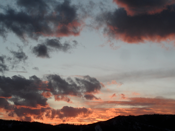
Steamboat Springs area short term weather forecast from Sunday night
Sunday, March 13, 2016
Snow showers on the hill should begin by sunrise, becoming moderate to heavy by noon as rain showers turn to snow in the valley. Winds will increase through the day becoming very windy and creating blowing snow, making travel difficult. Additionally, locally intense snowfall with the some thunder may be possible later in the afternoon as the atmosphere destabilizes.
The surface cold front passes through later in the day and brings favorable wet, cool and windy northwesterly flow over our area overnight Monday. Current forecasts have around 3-6” in Steamboat and 1-3” in Craig and are pointing toward the possibility of as much as 8-16” on the hill by Tuesday morning, though some models have a drier mountain-top flow which may reduce accumulations by 2-4”.
The first part of the storm on Monday introduces a long duration event comprised of several waves of moderate to heavy snowfall that will last through the entire work week. Snow showers will continue in the valleys on Tuesday and snowfall should continue on the hill with current forecasts having as much as 5-10” of additional snow by Wednesday morning.
Snow showers in the valleys and snows on the hill will continue through Wednesday, Thursday and Friday, keeping accumulations going each day.
Add comment
Fill out the form below to add your own comments


