Return of winter still on track
Sunday, March 13, 2016
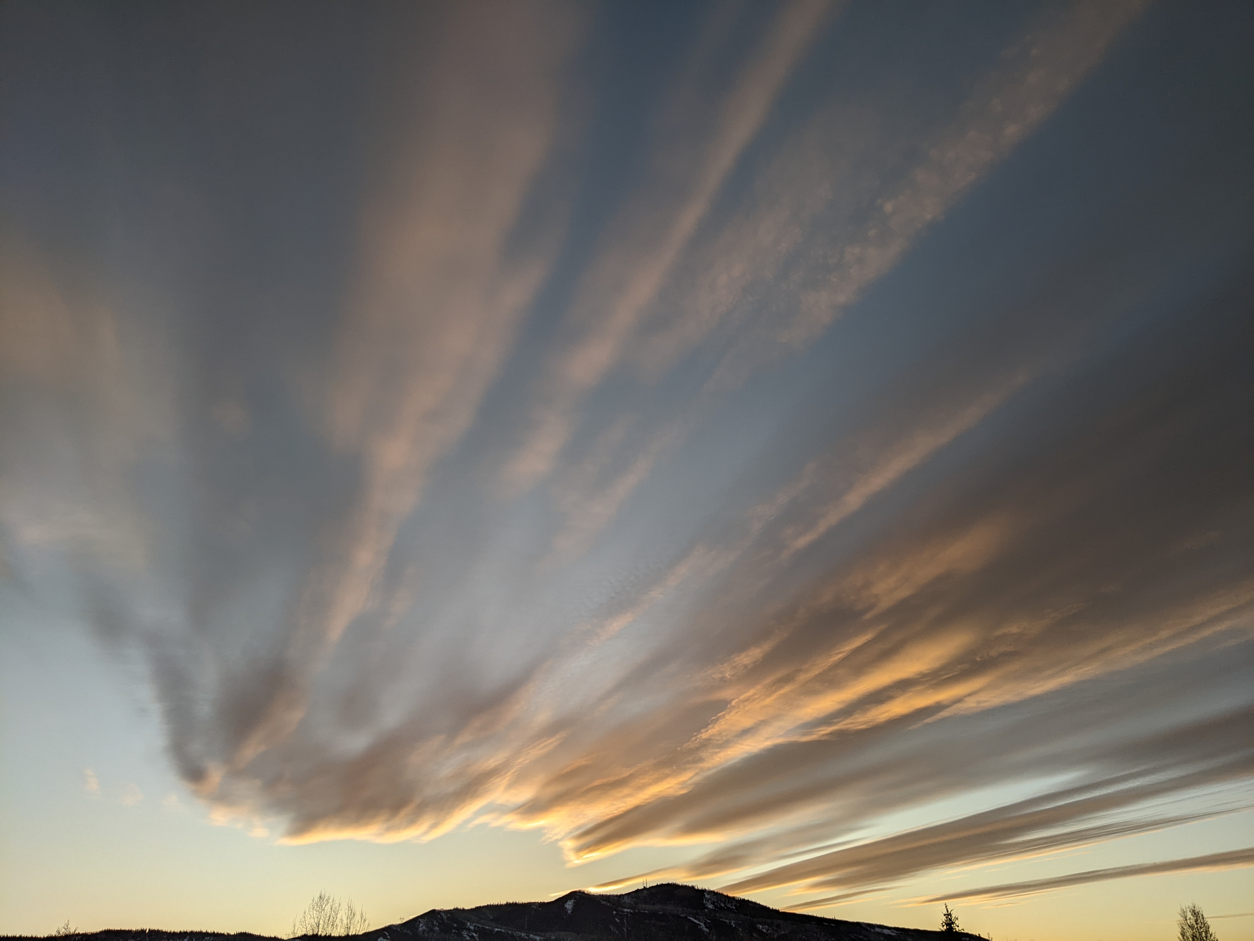
A large storm currently pounding the Pacific Northwest moves ashore tonight and will increase clouds over the Steamboat Springs area tonight. Snow showers on the hill should begin by sunrise, becoming moderate to heavy by noon as rain showers turn to snow showers in the valley. Winds will increase through the day becoming very windy and creating blowing snow, making travel difficult. Additionally, locally intense snowfall with the some thunder may be possible later in the afternoon as the atmosphere destabilizes.
The surface cold front passes through later in the day and brings favorable wet, cool and windy northwesterly flow over our area overnight Monday. Current forecasts are pointing toward the possibility of as much as 8-16” by Tuesday morning, though some models have a drier mountain-top flow which may reduce accumulations by 2-4”.
The first part of the storm on Monday introduces a long duration event comprised of several waves of moderate to heavy snowfall that will last through the entire work week. Snowfall should continue Tuesday with current forecasts having as much as 5-10” of additional snow by Wednesday morning.
Snows will continue through Wednesday, Thursday and Friday, continuing accumulations each day. Because most of the snow is being caused as air is lifted over the Park Range (i.e. orographic, or topological lift), accumulations will be less at lower elevations so the valley will see considerably less snow than the top of Mount Werner.
Total storm accumulations by Saturday morning should be impressive and may be more than two or three feet before the storm cycle is forecast to end by the weekend.


