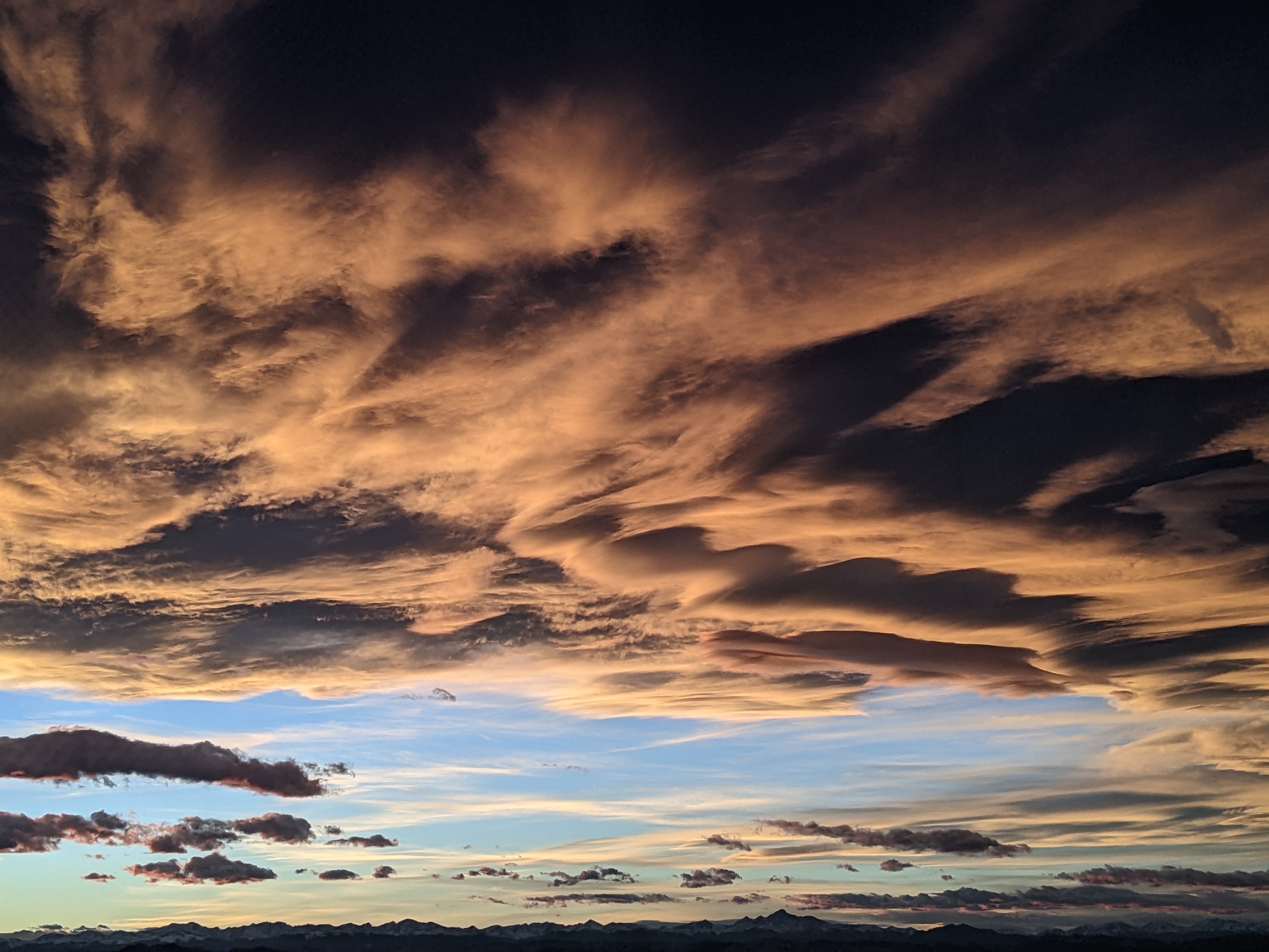
Steamboat Springs area short term weather forecast from Friday night
Friday, March 11, 2016
A compact storm crosses the California coast tonight and this will affect our weather for Saturday as it moves along the Colorado-New Mexico border. We will have at least clouds tomorrow afternoon, and we are right on the northern edge of precipitation. There may be rain showers in the valley and snow showers on the hill by Saturday afternoon and lasting through the evening.
A much larger and more intense storm approaches the Pacific Northwest around mid-weekend after mixing with some cold arctic air. An ejecting wave on Sunday will stay mostly north of our area but will bring the possibility of light showers for the late afternoon and evening.
The parent storm then moves ashore and looks to bring full-on winter conditions to our area on Monday when a cold front passes through and brings favorable wet and cool northwesterly flow over our area. Current forecasts are pointing toward the possibility of as much as 8-16” on Mount Werner by Tuesday morning with 4-8” in the valleys.
Winter weather looks to continue through the work week as periodic waves embedded in moist northwest flow move over the area.
Add comment
Fill out the form below to add your own comments


