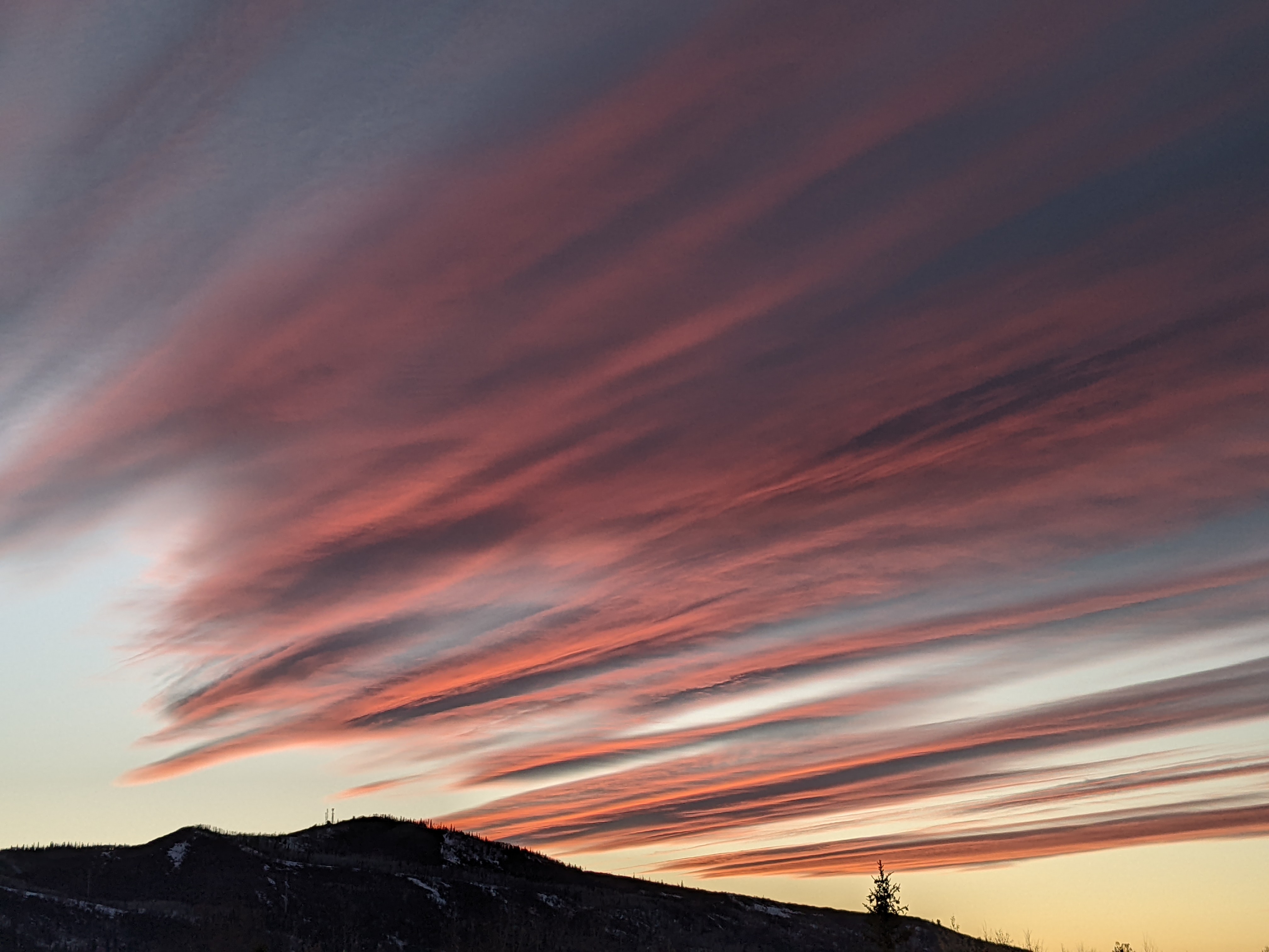
Parade of weak storm starts Saturday
Friday, February 26, 2016
After another gorgeous day today and a sunny Saturday morning, four relatively weak storms are forecast to affect the Steamboat Springs area starting Saturday night. Clouds will overspread the area Saturday afternoon with light snow developing overnight and lasting through Sunday morning as the first storm moves though in northwest flow, leaving 1-4” for the Sunday morning ski report.
Precipitation will end by Sunday afternoon before starting up again as soon as Monday morning as a stronger and colder storm, also in northwest flow, crosses the area later Monday. Models are struggling with the strength of this system, but current forecasts have colder temperatures and 3-6” by Tuesday morning.
A grazing wave, again in northwest flow, is trending more impactful in current model runs, with very light snows leaving an inch or two forecast during the day Wednesday.
A transient ridge will bring a break in the unsettled weather on Thursday and warmer temperatures before an evolving Pacific storm in the Gulf of Alaska sends a piece of energy over the area around next Friday. There is a great deal of uncertainty with respect to not only how much energy get ejected from the main Pacific storm, but also whether cold air sources in western Canada and possibly Siberia mix with remaining part of the storm the in the Gulf.
Add comment
Fill out the form below to add your own comments


