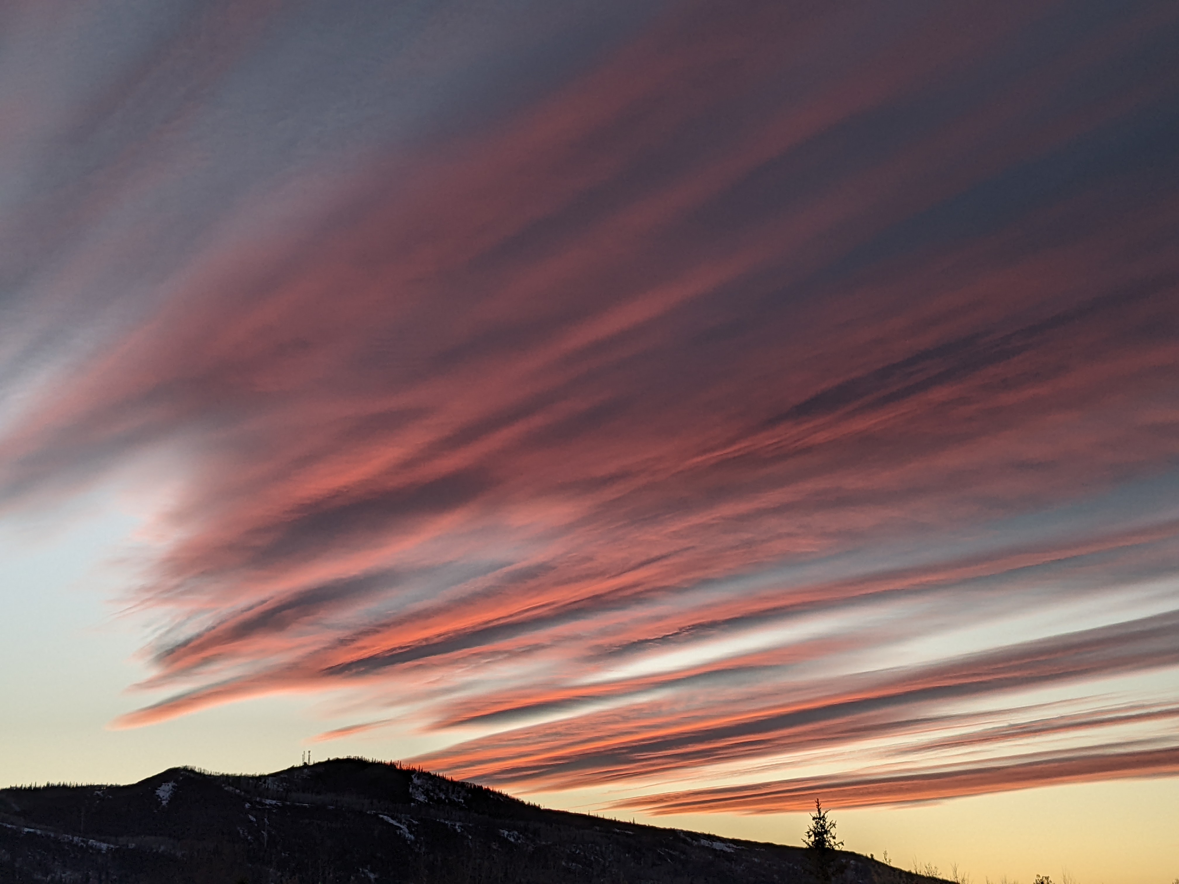
Current storm lasts till Tuesday morning followed by another Thursday afternoon
Sunday, February 14, 2016
A moist northwest jet stream with embedded waves is over the Steamboat Springs area and is responsible for the 2” of snow that fell at the top of Sunshine Peak this afternoon. Continued gusty west to northwest winds up to 40 mph will continue the snow on the hill tonight as a wave moves across, leaving another 3-6” of snow for a 5-8” Monday morning ski report.
Snows will decrease in intensity but continue on Monday as the atmosphere warms slightly behind the departing wave, with an additional 1-4” during the rest of the day.
The last embedded wave moves across our area around Monday evening, cooling temperatures and increasing snowfall rates a bit, with an additional 2-4” overnight.
There may be lingering clouds and possible snow showers early Tuesday behind the wave, but the Great Basin ridge builds over us after that, bringing warm, dry air and sunny skies back over the area by later Tuesday into Wednesday.
A stronger storm over the Pacific is forecast to cross the California coast midweek and spread clouds over our area by Wednesday night and bring snows and moderate westerly winds to the area as soon as Thursday. There is uncertainty with regards to the amount of weakening the storm will undergo as it interacts with the Great Basin ridge, but current forecasts have precipitation peaking Thursday afternoon through midnight, leaving around 4-8” of snow by Friday morning.
Add comment
Fill out the form below to add your own comments


