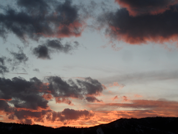
Steamboat Springs area short term weather forecast from Saturday night
Saturday, February 6, 2016
A final dry wave in northwest flow will stay north and east of us tomorrow before the West Coast ridge expands eastward over the Great Basin and brings sunny skies to our area by Tuesday and lasting through the work week. Warming will be most noticeable on the mountain slopes as mornings in the valleys will start cold due to temperature inversions.
Saturday night: Mostly cloudy with patchy fog and a chance of snow showers on the hill. Lows around zero in Craig and single digits in Steamboat.
Sunday: Patchy fog early turning partly sunny with highs in the 20’s.
Sunday night: Mostly cloudy turning partly cloudy with lows in the minus single digits in Craig and around zero in Steamboat.


