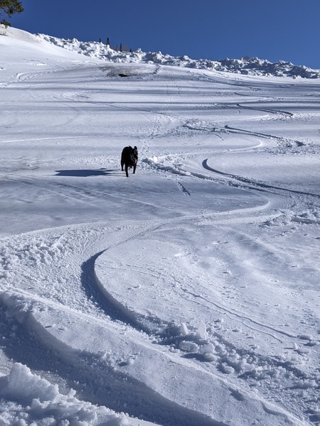
Last wave in this storm cycle timed for tonight
Thursday, February 4, 2016
A fast-moving wave in northwest flow will cross the Steamboat Springs tonight, leaving 3-6” for the Friday morning ski report. Snow will end first in the valleys but linger longest on the mountain where an additional inch of two may fall before being followed by partly sunny skies for the afternoon.
Saturday will be snow-free with brief ridging before another wave in northwest flow passes mostly north and east of us, increasing the likelihood of snow showers for Saturday night into Sunday morning and dragging some cool air over our area for Sunday.
Sunny skies and warming temperatures, especially at higher elevations, will begin by Tuesday and last the rest of the work week as the large West Coast ridge builds over the Great Basin. Valleys will have cold morning starts as temperature inversions reform under clear nighttime skies.


