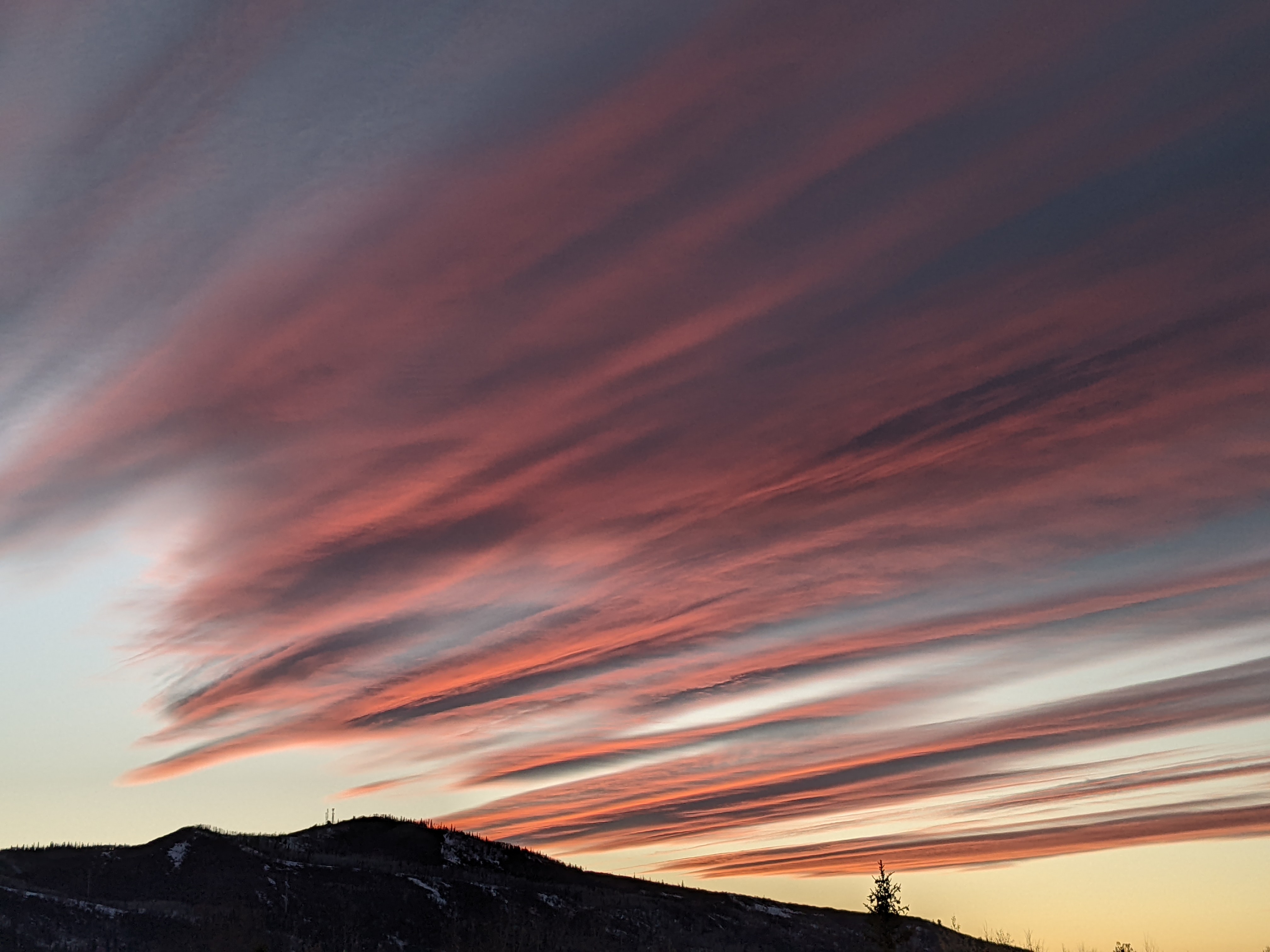
Steamboat Springs area short term weather forecast from Saturday night
Saturday, January 23, 2016
A weakly splitting Pacific storm will cross the area tomorrow bringing some gusty west winds and starting snow again. The initial part of the storm looks to split around Steamboat Springs early Sunday before trailing waves in northwest flow cross the area Monday afternoon and possibly Tuesday morning, keeping the snow around until as late as Tuesday afternoon for the higher valleys and the mountain.
Saturday night: Cloudy with lows near 10 in Craig and teens in Steamboat.
Sunday: Highs in the 20’s before a cold front passes through our area from a weakly splitting storm early in the day and starts up snow again with 2-4” in Craig and the mountain and 1-3” in Steamboat. Breezy along and behind the front with winds up to 25 mph.
Sunday night: Snows continue with 1-3” in the valleys and 3-6” at the Steamboat ski area leaving 4-9” for the Monday morning report. Lows in the single digits in Craig and around 10 in Steamboat.
Monday: Light snow with accumulations around an inch in the valleys and another 2-4” for the mountain as additional pieces of energy move through the area. Highs around 20 in the valleys and teens at mid-mountain.
Monday night: Chance of continued snow, especially on the mountain with lows around zero.


