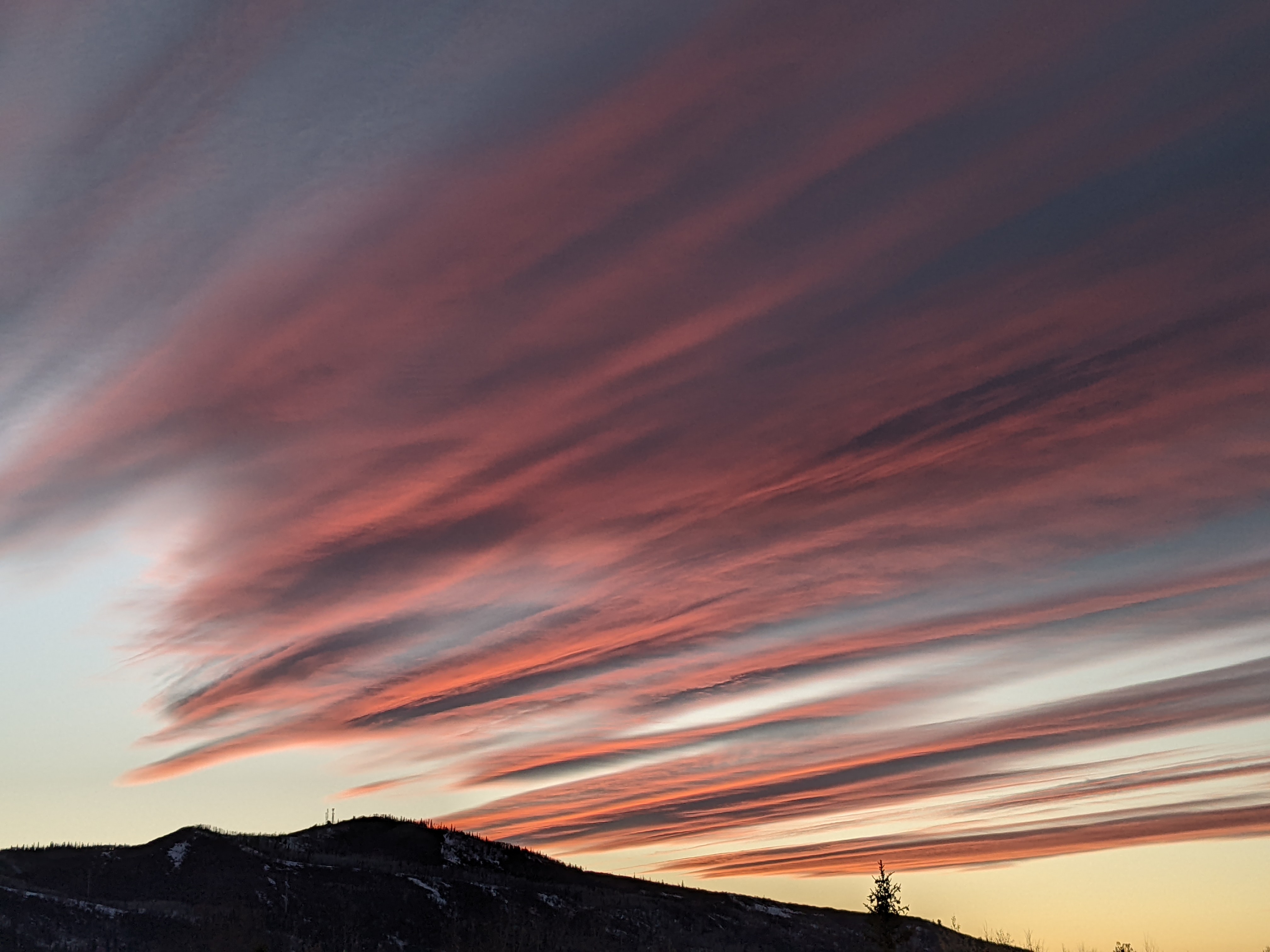
Frigid temperatures in the valley but warmer on the hill
Sunday, December 27, 2015
While the valley is still stuck in just-below zero temperatures after a -20F start to the day, the upper mountain has warmed to 18F as warmer air aloft has moved into the Steamboat Springs area. Monday should be a repeat of today before a dry wave drags some more cold air over the area early on Tuesday, cooling mountain temperatures but ironically bringing some warming to the valley as the strong temperature inversion is moderated.
A series of weak storms from the northwest and north will interact and threaten the area with light snow and continued cold temperatures beginning later Tuesday or early Wednesday. Light fluffy snow will likely fall for all of Wednesday and into Thursday morning before clearing skies should be noted by later in the day Thursday. Depending on when the snow starts, there may be several inches of snow on the hill by Wednesday morning and 3-6” by Thursday morning.
A West Coast ridge typical of recent El Nino episodes forms near the end of the work week, though temperatures will remain cool as the midweek storms are absorbed underneath the building ridge. There is a fair bit of uncertainty for next weekend’s weather as Pacific energy may interact with not only the lingering storm underneath the ridge, but also a grazing Canadian wave containing very cold air.
Add comment
Fill out the form below to add your own comments


