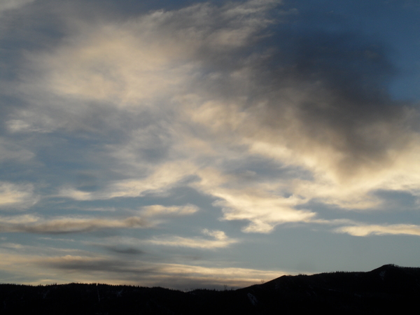
Snow has started falling as the next major storm approaches
Monday, December 14, 2015
It is currently snowing as the next storm begins to affect the Steamboat Springs area. Snows will become heavy overnight as the strong storm moves over Colorado, leaving 6-12” for the Tuesday morning report.
Snows will continue in the cold and moist northwest flow Tuesday and Wednesday with the possibility of a TROWAL forming tomorrow morning, possibly keeping heavy snows going through the early part of the day before the storm moves east of the area by the afternoon. Additional accumulations may be in the 4-8” range by Wednesday morning leaving 10-20” from this event.
Snow will diminish but likely not end Wednesday before a trailing wave in the northwest flow increases very low-density snowfall by Wednesday night into Thursday morning, possibly leaving another 4-8” by the Thursday morning report depending on the actual timing of this wave. After another several inches on the Friday morning report, the atmosphere is expected to stabilize during the day Friday as it warms, ending this storm cycle and ushering in a drier and much warmer couple of days for the beginning of the weekend.
Another quick-moving storm is forecast for late in the weekend or early in Christmas week, followed by a short break and possibly another major storm around midweek just before the Christmas holiday.


