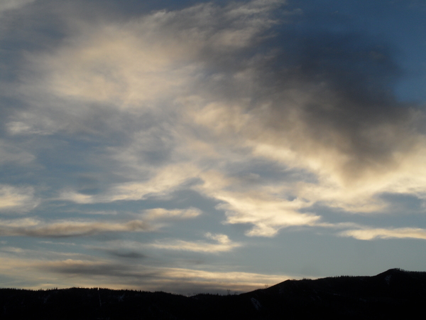
Storm arrival delayed until later Tuesday
Sunday, November 1, 2015
The storm advertised in the last forecast has trended slower in the models, and now is not expected to arrive until later Tuesday. The wet-weather forecast for Monday and Tuesday has now been replaced by breezy, dry and warm temperatures, with showers likely holding off till later Tuesday.
As before, the lead wave forecast to cross the area, now on Tuesday, will not have much cold air, keeping the initial surge of precipitation as rain in the valley and snow at the higher elevations, with maybe 1-4” at the top of Mt. Werner. By Wednesday, however, cold air infiltrates the area and lowers snow levels, with snow likely accumulating on the valley bottom by the end of the day Wednesday.
The mountain-top winds turn from the southwest to the northwest Wednesday evening, which should increase the snowfall rates, especially on the hill. I expect 3-6” of snow by Thursday evening at the Steamboat Ski area and maybe an inch or two in town.
There is a small break Thursday night before another wave in northwest flow brings more snow and additional colder air for Friday, perhaps leaving another inch or so in town and an additional 3-6” on the hill.
The weather is forecast to clear for Saturday, and after a chilly start, temperatures will moderate, especially later in the weekend. Seasonable temperatures with dry weather will last through Monday before the next storm threatens the Steamboat Springs area around Tuesday or Wednesday.
Add comment
Fill out the form below to add your own comments


