More seasonable weather returns during the weekend
Thursday, October 15, 2015
Our run of spectacular fall weather looks to be interrupted starting this weekend as the week-old storm that passed south of our area last weekend and spent some vacation time in Baja this week is forced eastward across the Great Basin by an upstream Pacific storm.
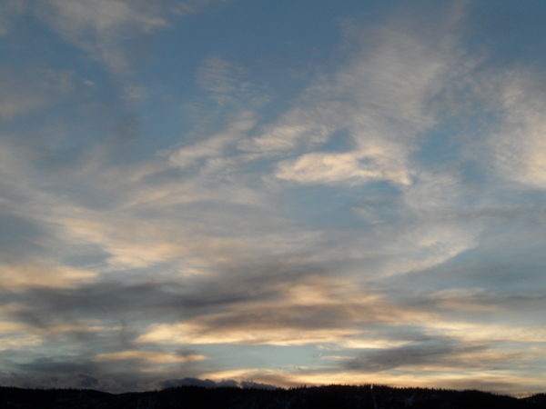
Before this happens, though, the current unseasonably warm and dry weather will persist through tomorrow and likely most of Saturday. As the lingering storm from last week crosses the Great Basin, it weakens considerably as it interacts with the current ridge of high pressure covering the Rockies, but will first spread high clouds over our area on Friday and then deeper moisture by Saturday, which should cool temperatures from their near-record highs.
There will be a chance of showers Saturday afternoon and evening as what remains of this storm passes over the area. By Sunday, the Pacific storm crosses the West Coast, and devolves into an unorganized storm system that will span the nearly the entire third of the North American continent as it barrels into and around the ridge.
While the details will almost surely change in such a complicated forecast, unsettled weather with mostly seasonable temperature will persist from Saturday night through Tuesday, with the best chance of showers currently forecast for later Monday and Monday night as some energy moves over the area.
Some of this storm gets left behind in the southwest around midweek, leading to a nice break in the weather then. However, that storm paired with another storm approaching the West Coast by the end of the work week may threaten next weekend’s weather.


