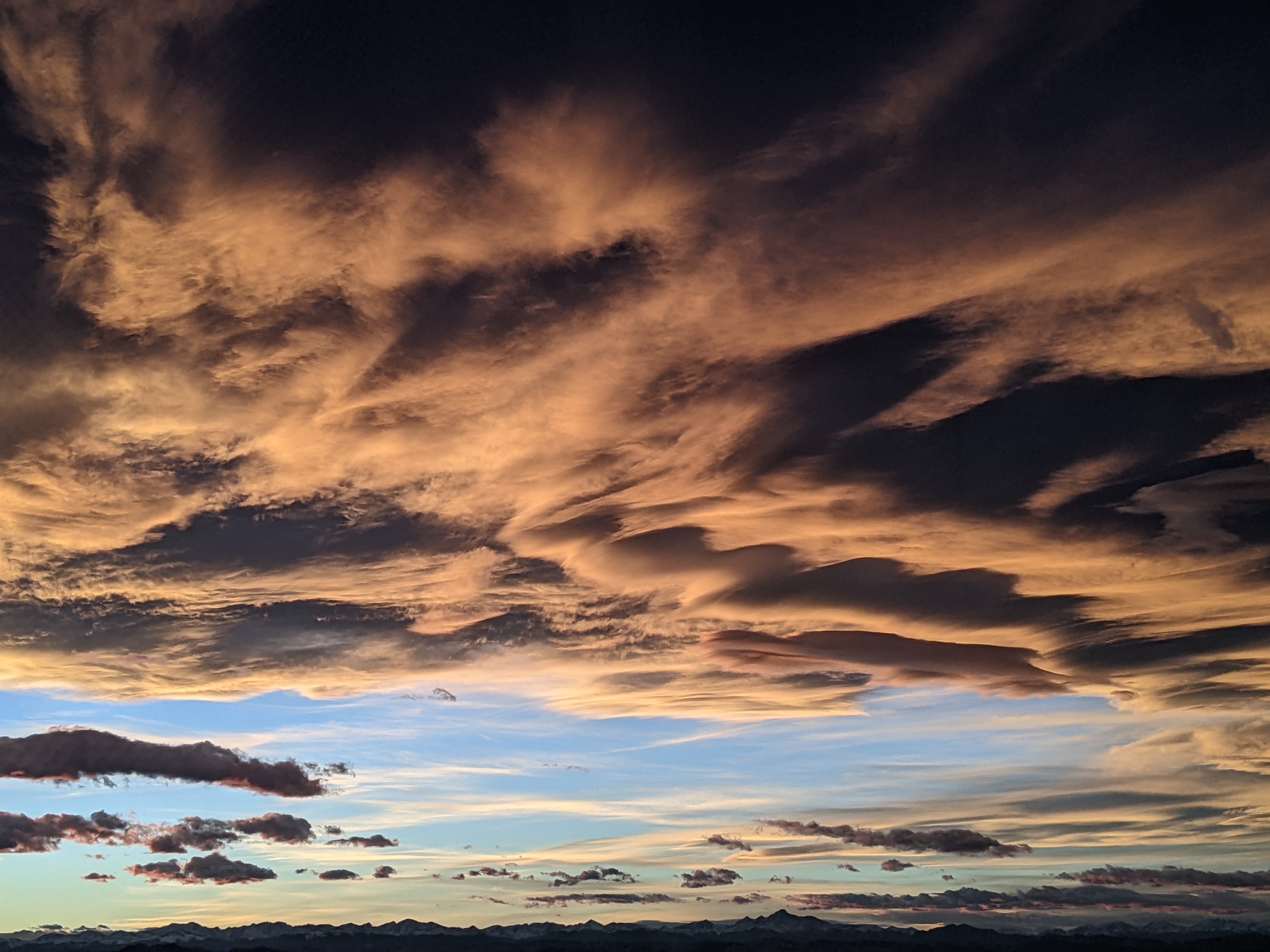
Beautiful weekend weather interrupts our wet pattern
Thursday, July 9, 2015
A storm currently located over northern California will eject a wave this afternoon that will travel over our area tonight and allow for another round of possibly heavy rainfall this afternoon and overnight. Significant drying is then forecast to begin Friday as dry air is dragged over Colorado by the storm as it moves northeastward across the Great Basin. However, residual moisture will fuel the possibility of afternoon storms tomorrow, though they will be much weaker and drop much less rain if they do form than the storms earlier this week.
Just in time for Rainbow Weekend and Art in the Park, a beautiful weekend looks to be in store as the dry air remains over our area through most of the weekend. Saturday and Sunday morning look to be rain-free, but a flat ridge in the southeast will move westward and draw moisture from the south over our area as soon as Sunday afternoon.
Unlike the pattern last week which I described as monsoonal-like, southerly flow around this ridge is representative of our classic monsoon pattern. If not by Sunday afternoon, then certainly by Monday the chance of afternoon storms once again producing locally heavy rainfall will return.
Another storm crosses the West Coast late in the weekend and stays to our northwest, but we will still feel its effects as bits of energy move over our area triggering or enhancing storms in our moist atmosphere around Tuesday.
The classic monsoonal pattern is forecast to persist into next weekend, leaving high chances for locally heavy rainfall each day. The forecast becomes uncertain by next weekend as some models show not only another strong storm approaching the West Coast, but also a hurricane moving northward along the Baja peninsula that may or may not interact with that storm.
Add comment
Fill out the form below to add your own comments


