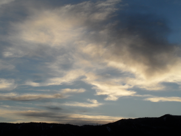
Summer-like weather ends tonight
Tuesday, April 14, 2015
After a couple of summer-like days, a strong cold front from a storm currently in central Nevada will bring winter-like days back to our area starting late tonight or early Wednesday and lasting possibly into the weekend.
Winds will increase through the day today before the front blasts through the region by tomorrow morning. At this point, there is a fair bit of uncertainty as the storm becomes separated from the jet stream along the Canadian border and evolves into a cutoff low. Because cutoff lows are removed from the strong and relatively predictable jet stream, their evolution is notoriously difficult to predict. Some models have this low further splitting into a couple of circulation centers that move around our area while others have a more coherent system staying mostly south and west of our area.
The strong front will drop snow levels to the valley bottom, even though upward forcing over our area is relatively benign. But the very cold air aloft will destabilize the atmosphere, and may lead to some localized areas of moderate to heavy snow as small storms develop. Generally though, I would expect only modest accumulation on the hill for the entire event, perhaps in the 2-6” range between Wednesday and Friday afternoon.
While some models have clearing by Friday night, there is no well defined movement of the cutoff low which means we may feel its effects into the weekend. A kicker Pacific wave is forecast to approach the West Coast later Friday and will force the cutoff low east of our area either late Friday or sometime Saturday.
This Pacific wave will split as it makes landfall, and may drag some cool air over our area on Sunday leading to showers for most of the day. But the main effect from this wave will be to phase with cold air over the central Canadian plains and begin a pattern change that may bring an active weather pattern for the rest of the month.
Specifically, as the cold air moves southward over the Midwest, a West Coast ridge rapidly rebuilds and becomes unstable, allowing Pacific energy to enter the west coast in a coherent manner next week. This energy is forecast to eventually interact with the cold Canadian air as the storms move eastward, leading to the possibility of a couple of major precipitation events near the end of the next workweek and again about a week later just before the end of the month.
Due to the number of interactions between different airmasses, and the fact that any interaction will influence future interactions, the forecast is very uncertain. However, my confidence is increasing that an active weather pattern may return for the second half of the month.
Add comment
Fill out the form below to add your own comments


