Cold front later Wednesday should bring snow
Tuesday, March 31, 2015
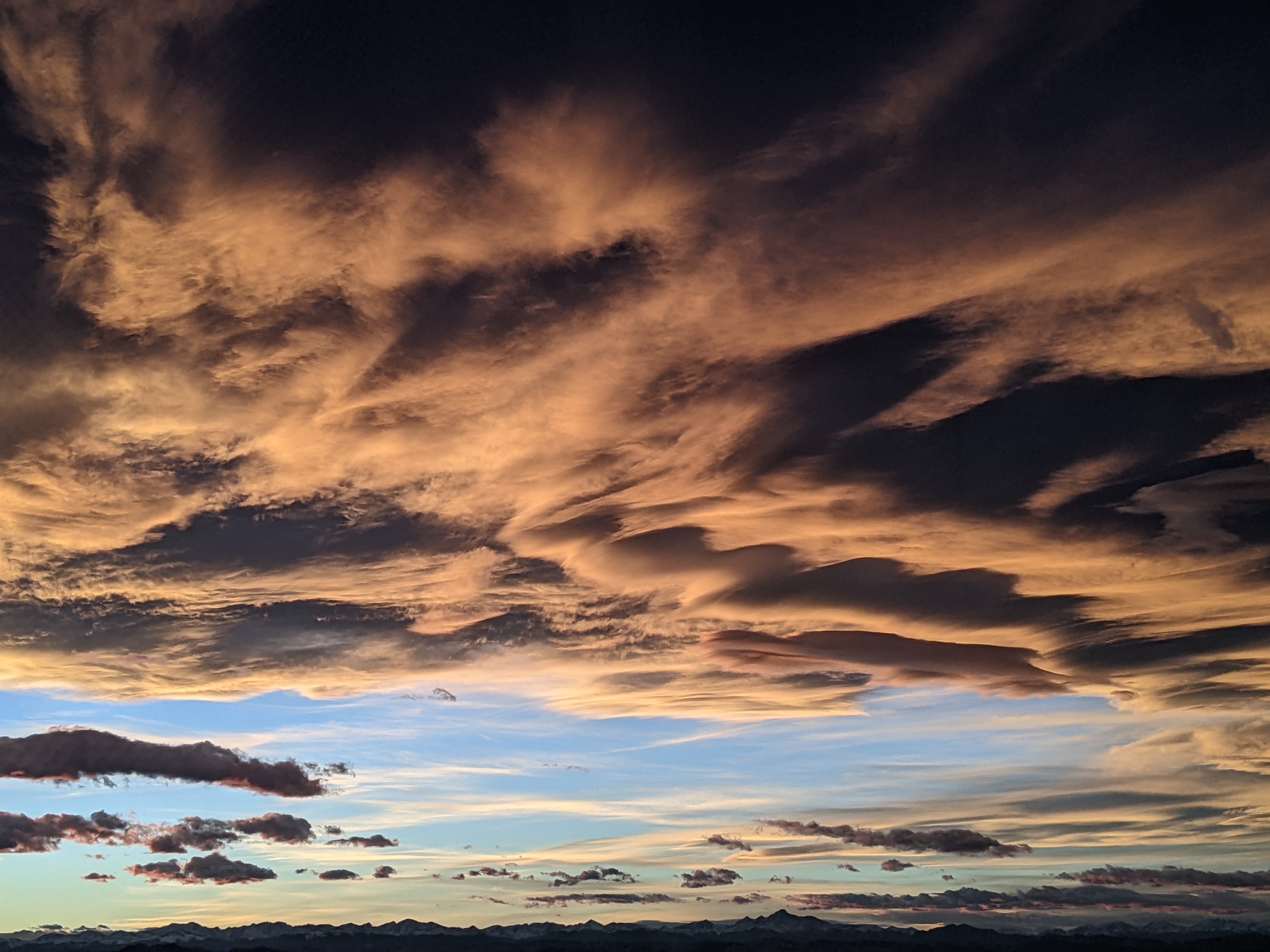
A storm currently crossing the Pacific Northwest coast will bring a cold front through our area around Wednesday afternoon, temporarily ending the abnormally warm and dry conditions for a few days. The atmosphere will destabilize tomorrow and we will be prone to gusty winds with falling temperatures, with even the possibility of some thunder and lightening later in the afternoon or early evening. Some of these showers may produce an inch or two or snow on the hill which would be reported Thursday morning.
While most of the energy stays north of us for Wednesday, by Thursday a trailing wave brings a reinforcing surge of cold air into the area. There is a much better chance of snow as the storm is forecast to move more directly over the area by Thursday night. Winds do look like they will turn to the northwest for a period of time between Thursday night and Friday morning, and this will be the best time for snow. I expect 2-6” by the Friday morning report and another inch or two during the morning hours. While we are likely to see snowflakes even in the valley, the very warm temperatures of the past few weeks have warmed the ground surfaces and will preclude accumulating snow.
Skies should clear later Friday and temperatures should warm during the day after a chilly start. Another spectacular weekend is on tap as dry air in generally westerly flow invades the area.
Another Pacific Northwest wave approaches our area early next workweek and brings some cooler temperatures, but this storm will pass well north of our area and likely be responsible for some windy but dry conditions.
Temperatures will warm again behind this grazing wave, but there is a lot of model uncertainty heading into closing weekend. The American GFS has a strong trough crossing the West Coast around Friday and threatens significant snow during the latter half of the weekend. The European ECMWF has a similar trough slightly further west at the limit of its 10 day forecast, but the forecast beyond that has not been generated yet.
Add comment
Fill out the form below to add your own comments


